ArcGIS Living Atlas contains trusted ready-to-use geospatial content for your GIS workflows, and as the name implies, it continues to grow and update as a living collection. As we finish the first half of 2026, the Living Atlas team is excited to share some of the newest content that has been released at the beginning of the year and since last year’s UC conference. Please feel free to reach out to our team on Esri Community anytime with questions or examples of how you have used Living Atlas content within your work. We would love to highlight your success stories!

New Global Content
Google Photorealistic Basemap – now in Preview in ArcGIS Online and ArcGIS Pro

Mapillary Global Street-level Imagery (Beta)

New iNaturalist Service now available

Global Biodiversity and Conservation Hexagons…but better!

Disaster Imagery Explorer – quick-start guide

Global Heat Index Baseline (Wet Bulb Temperature)

Expanding the CHELSA Bioclimate Projection Collection (23 layers)

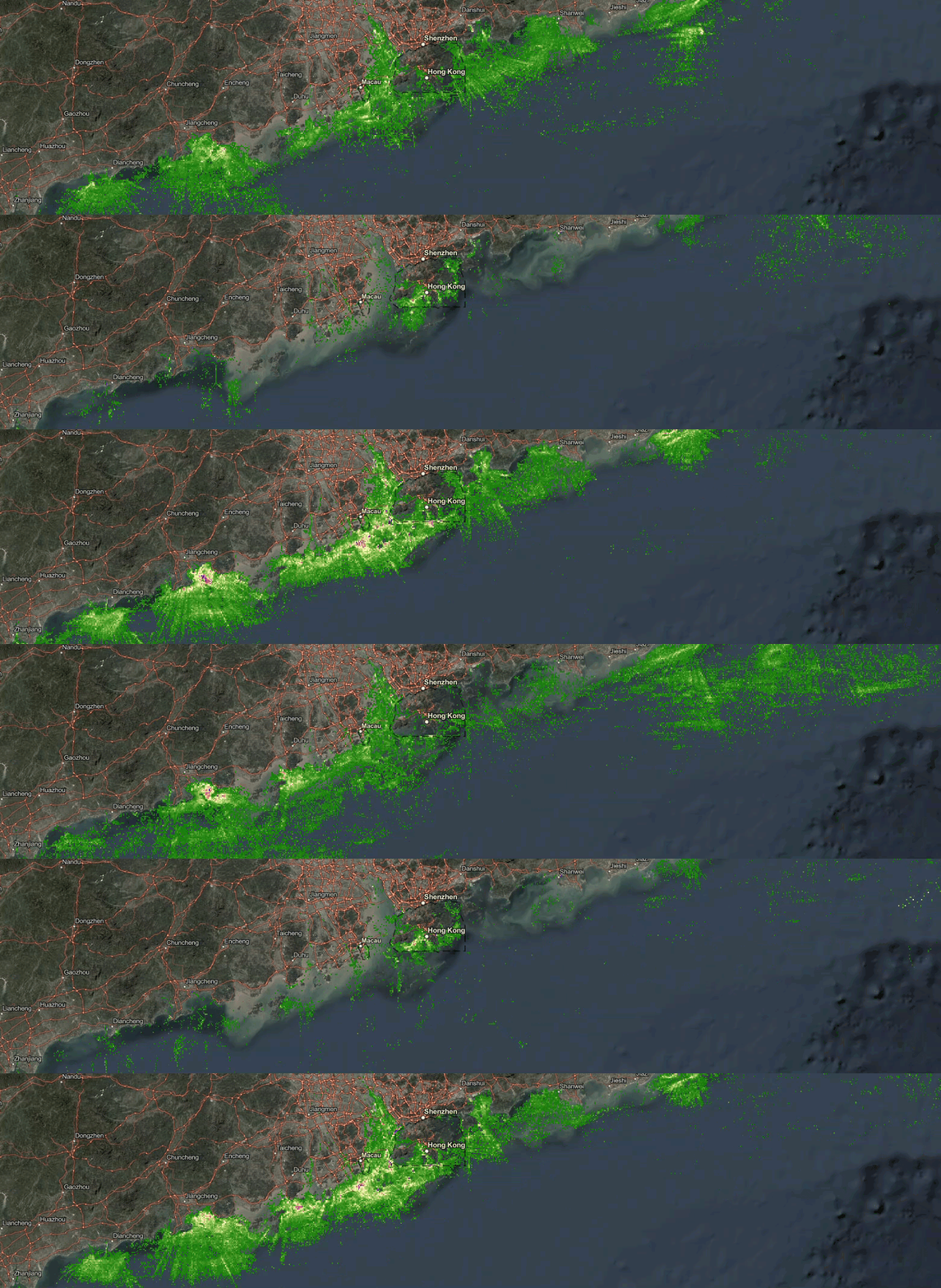
New Global Fishing Watch Layers (vessel presence, fishing effort, SAR detection, and more!)
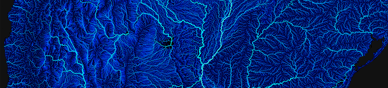
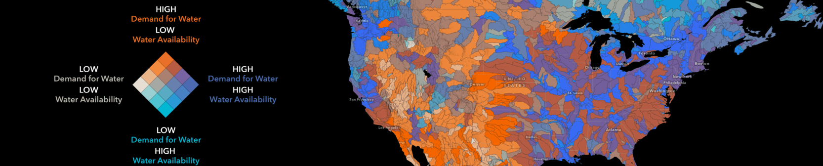
Global Water Risk from Aqueduct
ProtectedSeas – Empowering Conservation Through Community and Collaboration

WorldPop Global 2 – Selected Demographic Variables

New US Content
40 Years of NLCD Land Cover (6 analysis-ready layers)

Explore embeddings with new USA Geodemographic Embeddings layer and an introduction to embeddings with using the Geodemographics layer

New version of American Community Survey (ACS) layers now available

7 Years of U.S. Fire Department Responses (NFIRS)
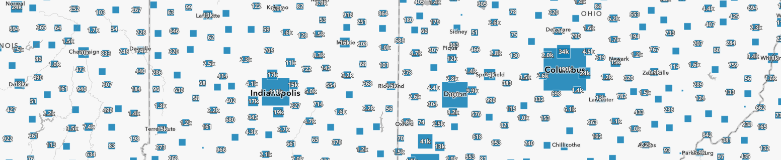
2020/2026/2031 Latest Esri Demographics layers

Number of Cloudy Days built with NASA’s MODIS data

Detailed language data by Public Use Microdata Area (PUMA)

Federal Spending Data by State, County, and Congressional District

Electricity Rates for Retail Service Territories and Resolution 3 H3 Hexagons

Near-real time energy layers from the Energy Information Administration (EIA)

Local air conditioning estimates (LACE)

Health Professional Shortage Areas (HPSAs)

National Highway Traffic Safety Administration (NHTSA)’s Fatality Analysis Reporting System (FARS)

New Deep Learning Packages
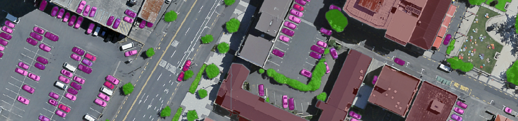
Segment Anything Model 3 (SAM3) – Detect, segment, and track objects using text or visual prompts such as points, boxes, and masks
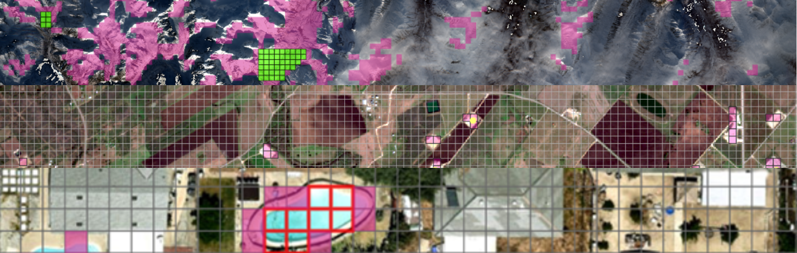
New set of foundation models for utilizing geoembeddings – These models capture semantic and spatial characteristics of imagery and can be reused across a wide range of GIS workflows. This allows reuse of learned representations across datasets without building task specific models from scratch.
Article Discussion: