ArcGIS Pro

Shape the future of Data Engineering in ArcGIS Pro

▶ Do your GIS workflows involve data exploration tasks?

▶ Do your GIS workflows involve data preparation tasks?

▶ Are you an ArcGIS Pro user?

▶ Have you used the new Data Engineering view in ArcGIS Pro?

If your answer is yes to ANY of the above questions, the Data Engineering product development team would love to hear from you! Share your feedback.

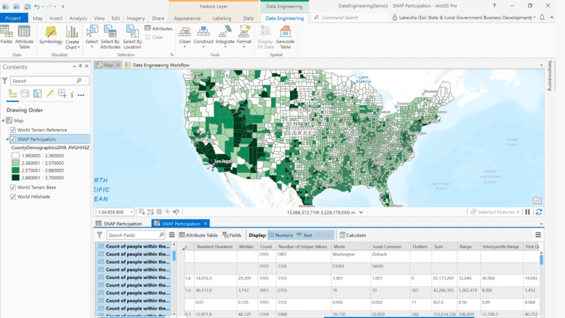
Data Engineering is an important part of analysis and mapping workflows. The Data Engineering view in ArcGIS Pro was released last year in ArcGIS Pro 2.8, and aims to streamline this process, making it easier to get to know your data and get it ready for your workflows. The Data Engineering view facilitates data exploration, in which you familiarize yourself with the data to understand fields and values, and data preparation, where you modify and clean the data to prepare it for the next steps.

If you’ve used the Data Engineering view in ArcGIS Pro, then we hope that it has improved your GIS workflows. If you’ve not used Data Engineering, we’d like to hear about your data preparation and data exploration workflows. Your candid feedback, both positive , will be extremely valuable to help us evaluate the current functionality and plan future development. If you’d like to offer your feedback, you can respond to this survey. It should take around 10-15 minutes to complete.

Thank you for your time!

About the authors

Lynne Buie is a Product Engineer on the Spatial Statistics team. She helps build spatial statistics tools and Data Engineering capabilities for ArcGIS Pro. She's passionate about using GIS to help make the world a better place.

Connect:

Ankita Bakshi is a Product Owner and a Senior Product Engineer on the Spatial Statistics Team at Esri. With a background in environmental engineering and computer science, she is passionate about solving social, economic, and environmental problems with Spatial Analysis and Data Science. In her role, Ankita enjoys researching, finding solutions to build software, and loves creating video and written content to make the software tools more approachable and applicable to real world challenges. Outside of work Ankita enjoys going on hikes and dancing to Bollywood music.

Connect:

Alberto Nieto is a Product Engineer on Esri’s Spatial Statistics team. In his role, he helps research, build, and maintain spatial data science capabilities in ArcGIS and works closely with government agencies to learn about the problems our software can help solve. Alberto’s background includes fourteen years of experience, including previous roles as a GIS Developer at Capital One and NOAA's Climate Prediction Center, and as a GIS Analyst at the Census Bureau and the Alachua County Environmental Protection Department.

Connect:
Subscribe
Notify of
1 Comment
Oldest
Newest
Inline Feedbacks
View all comments

Next Article

What's new in ArcGIS Bathymetry for ArcGIS Pro at 3.3

Read this article