There is so much you can already do to work with multidimensional data in ArcGIS Pro, and we’re keeping the ball rolling with ArcGIS Pro 2.5. With this release, there are new tools and enhancements to manage, process and analyze multidimensional rasters. These include a new user experience, new geoprocessing tools, new raster functions and arcPy API enhancements that allow you to extract and manage subsets of a multidimensional raster, calculate trends in your data, and perform predictive analysis.
New user experience for multidimensional rasters
A new contextual tab in ArcGIS Pro makes it easier to work with multidimensional raster layers or multidimensional mosaic dataset layers in your map.

The new user experience means you can intuitively work with multiple variables and step through time and depth dimensions. You get direct access to the new functions and tools that are used to manage, analyze and visualize multidimensional data. You can also quickly chart multidimensional data using the temporal profile, which has been enhanced with spatial aggregation and charting trends.
New tools for multidimensional management and analysis
We’ve added three new tools to analyze your time series raster data:
- Determine when or where a given statistic was reached using the Find Argument Statistics. For example, you can identify when maximum precipitation occurred over 10 years of data. Included with the Image Analyst and Spatial Analysts extensions.
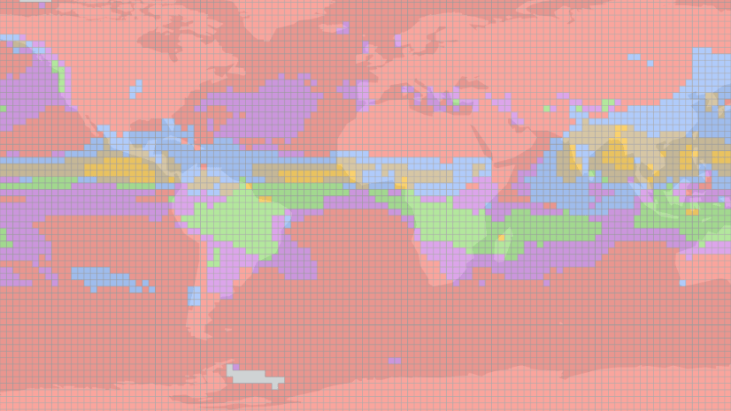
- Estimate the trend for each pixel along a specific dimension for multiple variables with the Generate Trend Raster. For example, you might use this to understand how sea surface temperature has changed over time. Included with the Image Analyst extension.
- Perform predictive modelling with your data cube using the Predict Using Trend Raster. This can help you predict the extent of a future El Nino event based on trends in historical sea surface temperature data. Included with the Image Analyst extension.
We’ve also added two new tools so you can better manage your data cube.
- Make Multidimensional Raster layer tool – define a slice in a multidimensional data cube as a single raster. Lets you slice and dice a multidimensional data cube along specific variables and dimensions to work with it as a raster layer. Provided with all ArcGIS Pro license levels.
- Subset Multidimensional Raster tool – subset your data along specific variables, and dimensions into another multidimensional data cube. This tool is also available with all ArcGIS Pro license levels.

Additionally, the following tools have been updated:
- The Aggregate Multidimensional Raster tool supports more aggregation keywords.
- The Generate Multidimensional Anomaly tool has four new options for the Anomaly Calculation Method.
New raster functions for on-the-fly equivalents of geoprocessing tools
Four new raster functions were added for on-the-fly processing:
- Process Raster Collection
- Linear Spectral Unmixing
- Generate Trend
- Predict Using Trend

New Python capabilities
Developers can take advantage of new classes, new functions, and new methods and properties added to the Python raster object that allow you to work with multidimensional rasters.
- ia.RasterCollection – The RasterCollection object allows a group of rasters to be sorted and filtered, and prepares a collection for additional processing and analysis.
- ia.PixelBlock – The PixelBlock object defines a block of pixels within a raster to use for processing. It is used in conjunction with the PixelBlockCollection object to iterate through one or more large rasters for processing.
- ia.PixelBlockCollection – The PixelBlockCollection object is an iterator of all PixelBlock objects in a raster or a list of rasters. It can be used to perform customized raster processing on a block-by-block basis, when otherwise the processed rasters would be too large to load into memory.
- ia.Merge – Creates a raster object by merging a list of rasters spatially or across dimensions.
- ia.Render– Creates a rendered raster object by applying symbology to the referenced raster dataset. This function is useful when displaying data in a ArcGIS Notebook.
- Raster functions for arcpy.ia and arcpy.sa – You can now use almost all of the raster functions to manage and analyze raster data using the arcpy API.
Overall, there are a lot of tools to try out for developers and users alike who dwell in science! Stay tuned for more interesting features coming soon!


Article Discussion: