For architects, engineers, and planners, the world of design can be difficult without the proper tools. Cloud-based software programs like Autodesk Forma can be extremely helpful during the pre-design phase, but they lack important environmental factors and spatial context. This is where Esri’s ArcGIS for Autodesk Forma comes in.
ArcGIS for Autodesk Forma is an easy-to-use app that seamlessly incorporates authoritative ArcGIS data into Autodesk Forma. The combination of geographic information system (GIS) data from ArcGIS with Autodesk Forma allows users to visualize their designs with real-world context, providing valuable insight into their projects and elevating their designs to the next level.
The Value of ArcGIS for Autodesk Forma
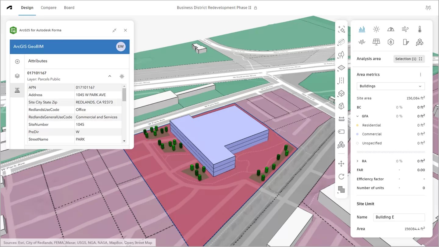
ArcGIS for Autodesk Forma provides architects, engineers, and planners with a simple solution for sharing spatial data, maps, and feature layers from ArcGIS into Forma. This allows them to create more comprehensive designs by incorporating environmental factors and spatial context. By incorporating environmental, demographic, and infrastructural data into Forma, ArcGIS for Autodesk Forma ensures that designs are based on real-world data, enhancing their quality, fidelity, and accuracy.
The value of having spatial context incorporated into a design from the onset of the project cannot be denied. It ensures that environmental considerations are taken into account from the beginning of the design project. This allows architects, engineers, and planners to make smarter and more informative design decisions, preventing the need to backtrack or make costly revisions later on in the design process. It contributes to the overall quality and fidelity of the design project while also ensuring that the design is developed with the most up-to-date data available.
ArcGIS for Autodesk Forma also streamlines the integration process between ArcGIS and Forma. It creates a simplified workflow for data from ArcGIS to Forma while also safeguarding the data’s integrity. In short, it improves the quality, accuracy, and impact of the design project by ensuring that spatial context is present during the pre-design process, making the user’s design stand out from the rest.
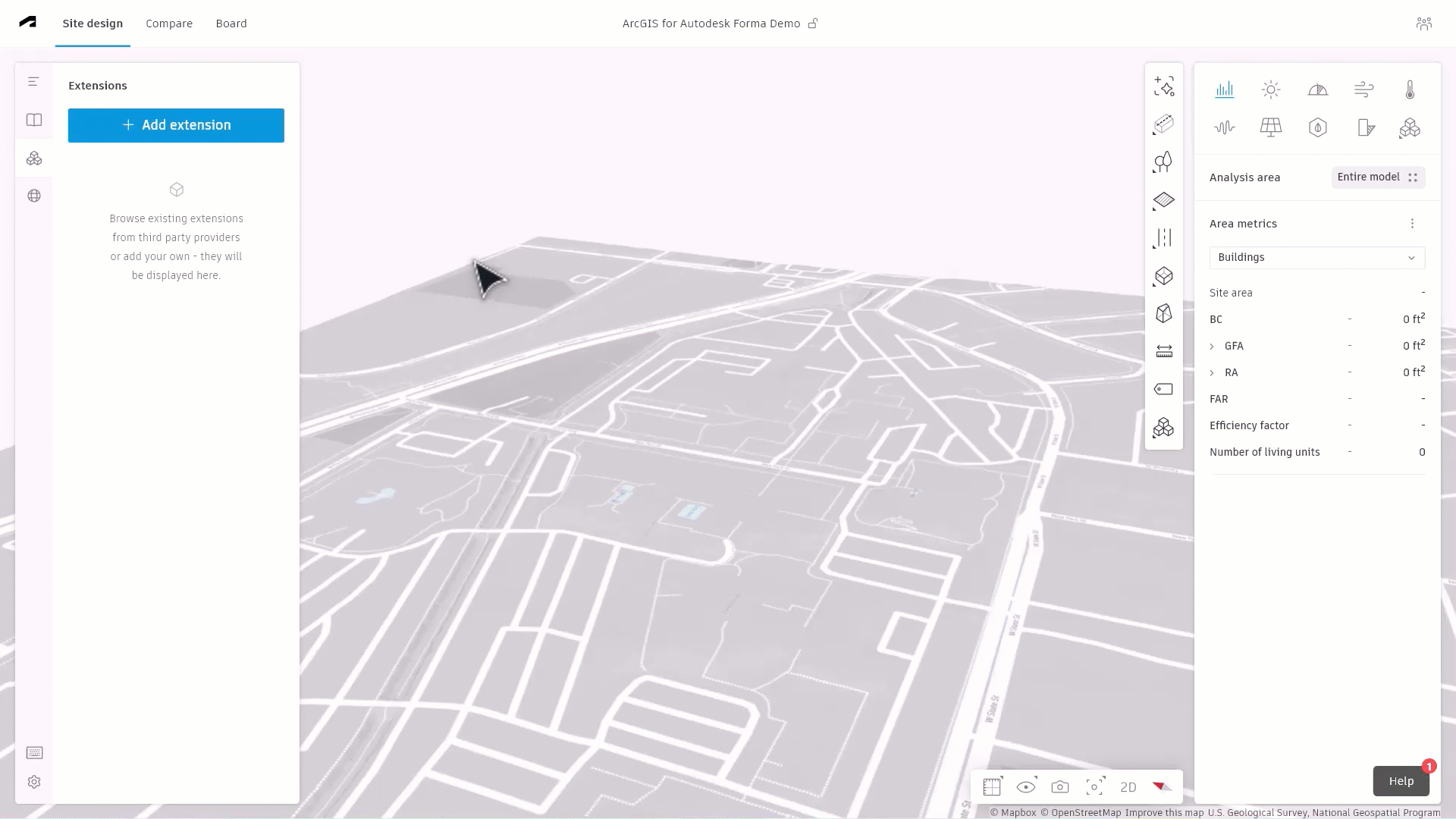
Benefits of ArcGIS for Autodesk Forma
- It utilizes a direct integration between ArcGIS and Forma to allow users to quickly and efficiently connect their ArcGIS data into Forma without compromising the accuracy and integrity of their data. This gives users the ability to work within their Forma design environment without having to switch back and forth between their ArcGIS and Forma systems.
- It ensures reliable and accurate designs by providing access to the most up-to-date spatial data available, since working with outdated and unreliable data can ruin a project. With ArcGIS for Autodesk Forma, users can update their ArcGIS data by simply hitting the refresh button. Ensuring that their spatial data is never out of date.
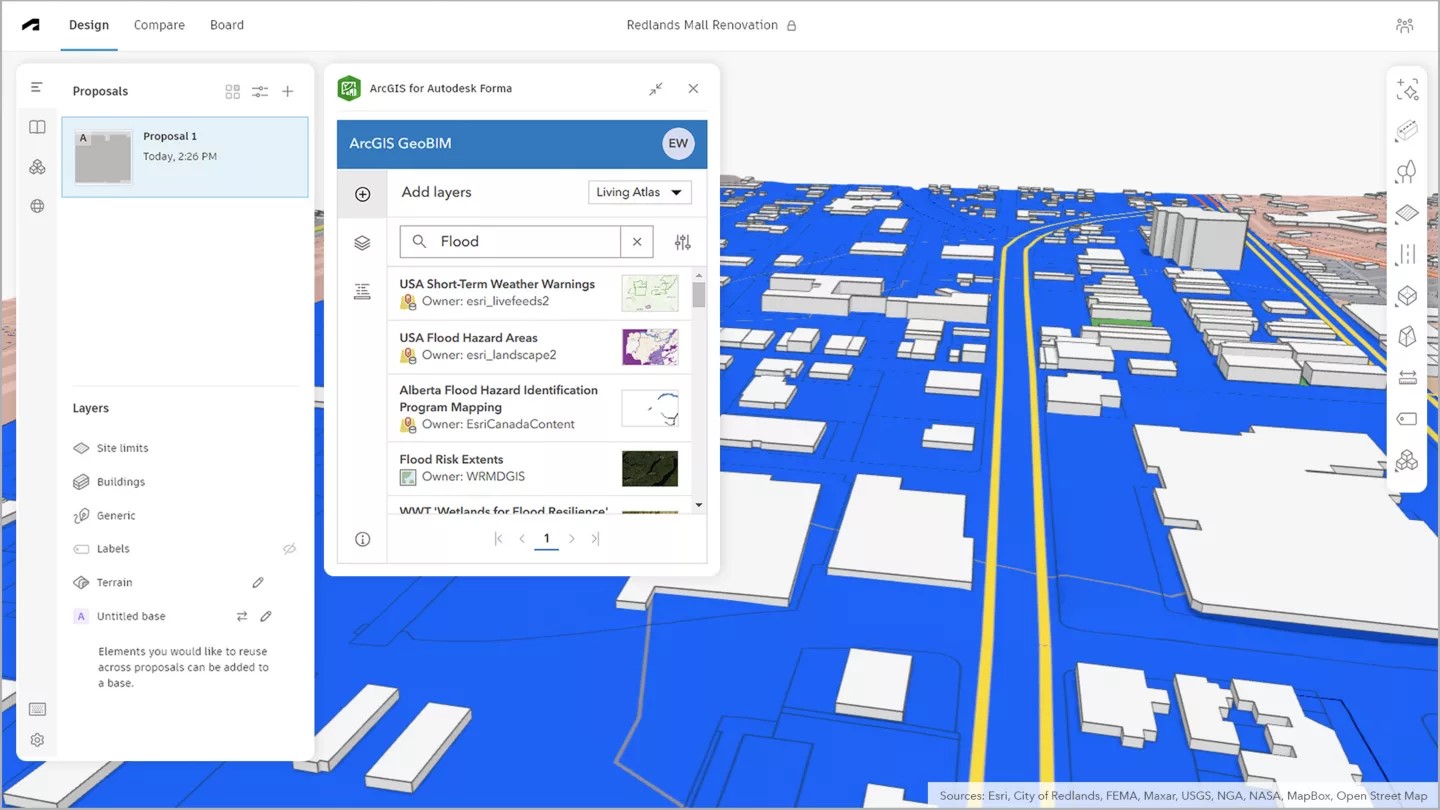
- It extends the ability to share ArcGIS data into other Autodesk software offerings. As users benefit from Esri’s integrated basemaps, map layers, and feature layers within ArcGIS Living Atlas of the World and their own ArcGIS data, they can also share their spatially enhanced designs across Autodesk’s software library. Within Forma, users have the ability to share their designs to other Autodesk software, including Revit.
- It helps identify challenges before they become a problem. ArcGIS data provides important information such as zoning, parcel size, land use, and other environmental factors. With ArcGIS for Autodesk Forma, spatial context is provided by ArcGIS data from the onset of the project- preventing the need to backtrack or make corrections later on in the design process, saving both time and money during the later stages of design.
- It provides a unified ecosystem of seamlessly connected tools, allowing users to work within a single system and avoid fragmented workflows. This streamlined process not only shortens processing times but also safeguards data integrity, saving both time and money.
- It enriches Forma sites by elevating spatial awareness of the project environment with the latest maps of drone and satellite imagery, road networks, building footprint, utilities, zoning, and other information from ArcGIS Basemaps and the ArcGIS Living Atlas. Additionally, it incorporates shared content from public and private sector organizations, providing comprehensive and up-to-date information.
How to use ArcGIS for Autodesk Forma
Using ArcGIS for Autodesk Forma is a simple process that follows four steps:
Connect:
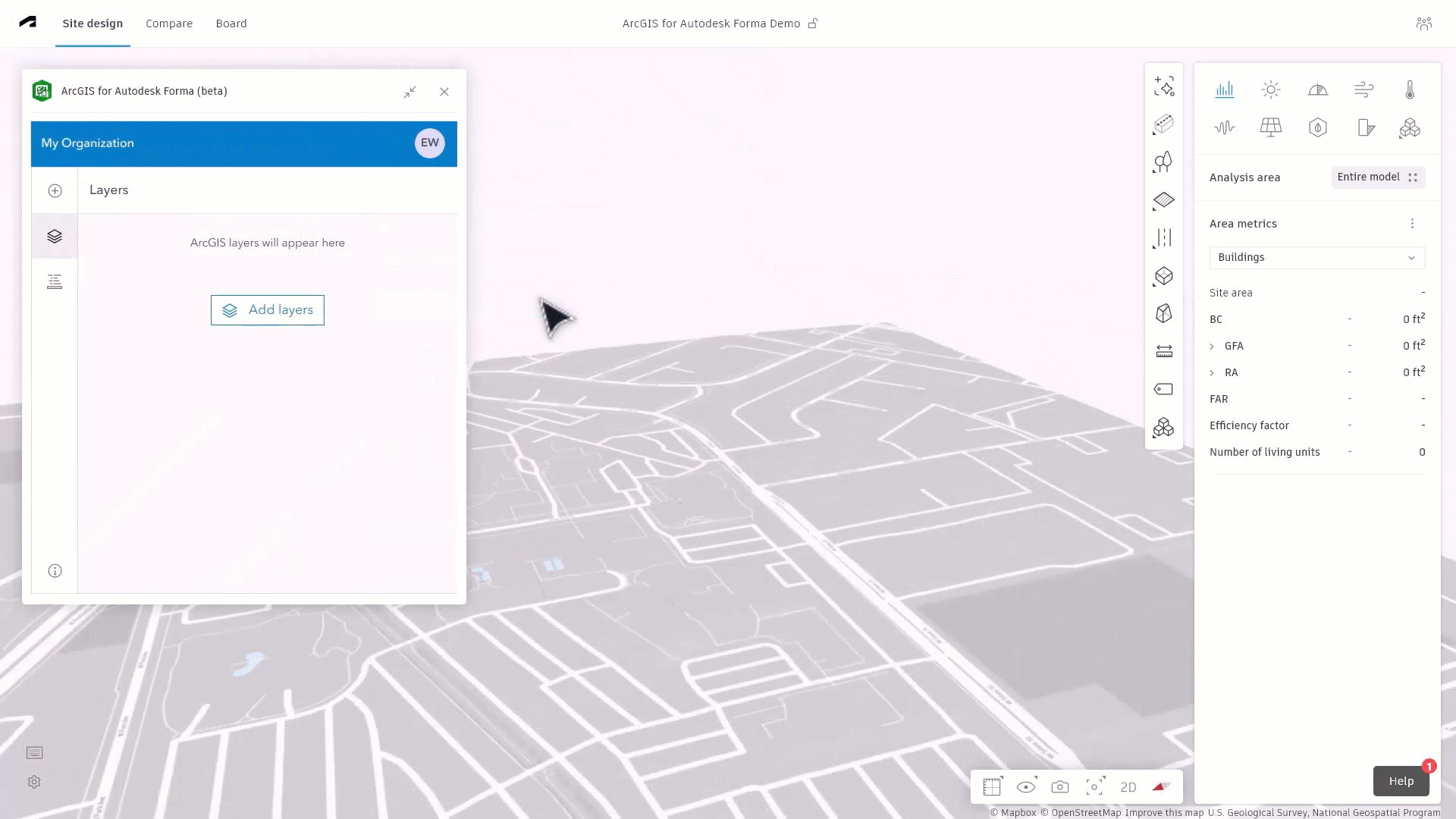
Open your project within Autodesk Forma and select Extensions. Choose ArcGIS for Autodesk Forma from the menu.
Access:
Sign in to your ArcGIS Online or ArcGIS Enterprise account using a Contributor user type or higher.
Enrich:
Select which data and geographic context you want to use and incorporate it into your Forma design.
Share:
Easily transfer designs from Autodesk Forma to Revit for further development and refinement.
Esri and Autodesk
Esri and Autodesk are industry leaders that are working together to put GIS and BIM data at the center of projects. The shared vision is an integrated and collaborative workflow that connects data sources and improves understanding projects in context, reduces inefficiencies, and delivers more sustainable resilient infrastructure.
With authoritative geographic data from Esri’s ArcGIS in Autodesk Forma you will be able to:
- Bring spatial context earlier in the design process.
- Better support architecture and design communities.
- Add contextual geographic data for buildings, zoning, roads, property boundaries, imagery and more.
How to get started
ArcGIS for Autodesk Forma is now available to Autodesk Forma users using a Contributor user type or higher in ArcGIS Online or ArcGIS Enterprise. To learn more about taking advantage of spatially enhanced designs and the power of ArcGIS for Autodesk Forma, please visit our website or reach out to your assigned Esri account manager. If you don’t have an assigned account manager or are unsure of who they are, please contact us.


Article Discussion: