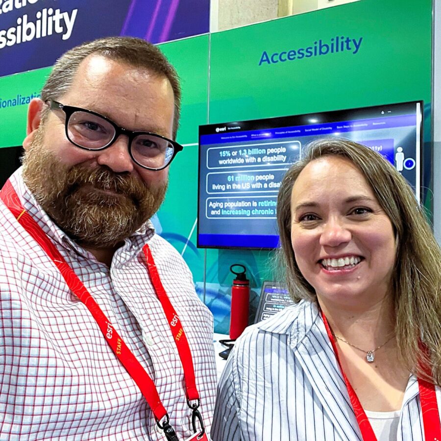
Digital accessibility is the process of creating digital content, services, and technology that is usable by all individuals, including those with a disability or impairment. To advance this goal, many countries have established legal requirements for accessibility to prevent discrimination and promote inclusion. The significance of accessibility extends beyond legal mandates – it offers the framework for a more inclusive world where technology is available to everyone, regardless of their abilities, disabilities, or impairments.
Esri is committed to ensuring all users have access to Geographic Information System (GIS) data and content through ArcGIS software products, solutions, and services. Accessibility remains a crucial consideration throughout the creation of all Esri technical offerings. Esri aims to provide users with accessible technology and enable them to create accessible maps, applications, and data content, featuring enhanced accessibility features to reach more audiences.

Esri consistently works to enhance the accessibility of ArcGIS to meet the needs of our customers and the communities we serve. Emphasizing inclusive product design and aiding users in creating accessible content upholds Esri's commitment to developing accessible GIS technology.

Esri’s comprehensive approach to accessibility
Accessibility is an ongoing effort and Esri follows a comprehensive approach, accounting for multiple international accessibility standards. Specifically, Esri follows the latest version of the Web Content Accessibility Guidelines (WCAG) and maintains updated Accessibility Conformance Reports (ACR) featuring WCAG, US Section 508, and EN 301 549 standards.
Esri is aware of and informed on the 2024 modification to Title II of the Americans with Disabilities Act, which now includes specific accessibility criteria for state and local governments. Esri observes the WCAG 2.2 AA criteria throughout product evaluation and will continue to incorporate the most current version of WCAG published by the World Wide Web Consortium (W3C). The adherence to Section 508 regulations by US federal agencies has guided Esri in enhancing support for customers in this space. Additionally, partners and distributors in the European Union have access to relevant Esri information and training, which can assist in their European Accessibility Act compliance efforts.
Incorporating accessibility best practices into the software product development lifecycle (SDLC) is essential for Esri to ensure that ArcGIS products are compatible with standard operating systems and assistive technologies (e.g. screen readers). To verify accessibility compliance, Esri conducts accessibility testing throughout product design, development, and release of products. Esri also engages with external accessibility professionals to conduct rigorous, non-biased accessibility evaluations of ArcGIS products.

Digital accessibility ensures that all users and potential users can effectively utilize Esri products. The commitment to accessibility is crucial for our customers globally, which underscores the importance of ongoing advancements and the integration of accessibility into every product release.
The approach to accessibility at Esri is to:
- Develop offerings that are accessible and usable by as many people as possible.
- Leverage accessibility technologies in operating systems and web servers to support various assistive technologies.
- Innovate GIS-specific accessibility technologies to enable all people to use and apply GIS.
- Ensure accessibility is consistently available and enhanced across all Esri user interactions.
- Empower customers to make informed choices about the Esri products they use by disclosing products’ accessibility capabilities.
Building accessibility in ArcGIS
Esri consistently integrates accessibility into its development process. Through product design and iteration, Esri’s team of user interface and user experience (UI/UX) specialists collaborate with product development groups to ensure accessibility is embedded from the beginning. Esri teams have access to various resources that support accessible development practices, including training from internal and external sources, resources for testing and development, and consultations from accessibility engineers.
The centralized accessibility team at Esri supports by providing recommended best practices, testing standards, and development guidance in implementing accessibility. The centralized accessibility team establishes company-wide policies and standards, and coordinates services to support the product development processes.
As new accessibility features and capabilities are continually incorporated into products, ongoing testing and evaluation help guide future enhancements. Esri collaborates with third-party professionals/consultants to regularly evaluate products against accessibility compliance criteria, with the findings documented in the latest version of the Voluntary Product Accessibility Template (VPAT). Developed by the Information Technology Industry Council (ITI), Esri uses this template to generate Accessibility Conformance Reports (ACRs) that are tailored to specific ArcGIS products. Esri publishes product ACRs to the Esri Legal Accessibility site.
“Esri’s Accessibility Conformance Reports are created through a rigorous process of evaluation and review and maintained for accuracy throughout subsequent product development and remediation,” Said Karl Frantz, Accessibility Team Lead. “We pride ourselves on the accuracy and integrity of these reports to support our customers.”

Resources on accessibility from Esri
To support customers and users on creating accessible content in ArcGIS, Esri has developed resources to illustrate accessibility features in ArcGIS as well as general information on processes to incorporate accessibility into maps, apps, and data content.
- Esri’s Accessibility Resources website features blogs, videos, and additional reference materials on many topics related to accessibility.
- Accessibility Conformance Reports share detailed accessibility information on Esri products via the Esri Legal Accessibility site.
- Esri Community has a dedicated site for accessibility to interact with other Esri users and get valuable tips and resources on accessibility.
- Esri Academy features a learning plan called Digital Accessibility Fundamentals that teaches key concepts and techniques of digital accessibility in GIS.
- One-to-one technical support is available in multiple formats to support accessibility in Esri products.
“The accessibility resources and training sessions we provide to our users are designed to offer valuable insights and instruction on the details of accessible GIS development practices,” stated Jessica McCall, Senior Accessibility Project Manager. “Our goal is to assist our users with their work and to guide GIS developers, analysts, and teams in learning and developing accessible implementation and testing best practices.”
Esri remains dedicated to improving product accessibility, consistently prioritizing user needs for the long term. As new products are released and research progresses, Esri is committed to keeping customers and users informed through comprehensive resources and documentation that supports their work and deepens their understanding of GIS.


Commenting is not enabled for this article.