Are you a developer who’s interested in performing analyses, discovering patterns, or solving real-world problems with geographic data, APIs, and services?
If so, you might be interested in the new Spatial analysis chapter in the Mapping APIs and location services developer guide.
This chapter shows you how to perform three different types of spatial analyses using ArcGIS client-side APIs, the ArcGIS REST API, and the spatial analysis service. This includes Geometry analysis, Feature analysis, and 3D Visual analysis.
New to spatial analysis?
No problem. The chapter has a number of interactive and programming tutorials to help you get started. They show you how to find, prepare, and enrich data, run analyses in the Map Viewer, and then write the code to perform the analyses programmatically. There’s no better way to learn than to run analyses interactively first!
Geometry analysis
The Geometry analysis section covers how to perform client-side analyses on point, polyline, and polygon geometries using the ArcGIS API for JavaScript, ArcGIS API for Python, and ArcGIS Runtime APIs. The analyses include how to buffer, find relationships, measure, and project geometries.
To learn more, go to Geometry analysis in the guide.
Feature analysis
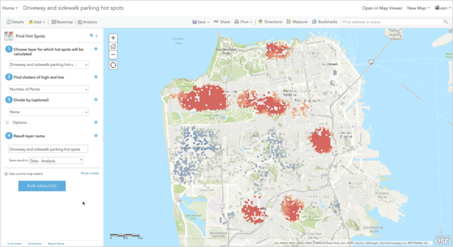
The Feature analysis section shows you how to access the spatial analysis service and perform server-side analyses on feature data using the ArcGIS API for Python, ArcGIS REST JS, and ArcGIS REST API. Feature analysis can take into consideration both geometry and attribute values when performing spatial and statistical calculations. Some of the analyses you can run include:
- Finding and extracting features
- Overlaying and merging features
- Summarizing features
- Analyzing patterns in features
- Performing geometric calculations with features
To learn how to undertake these analyses interactively, programmatically, and by using Postman, go to the Feature analysis section in the guide.
3D Visual analysis
The 3D visual analysis section covers how to perform client-side 3D analysis on terrain and objects using the ArcGIS API for JavaScript and ArcGIS Runtime APIs. Some of the operations you can perform include: calculating a viewshed, measuring area and distance, and determining line of sight.
To learn more, go to the 3D visual analysis section in the guide.
Hopefully these new sections in the guide will help you build great analysis applications and solve all kinds of real-world problems.
As always, feel free to leave comments below or feedback in the developer guide!


Article Discussion: