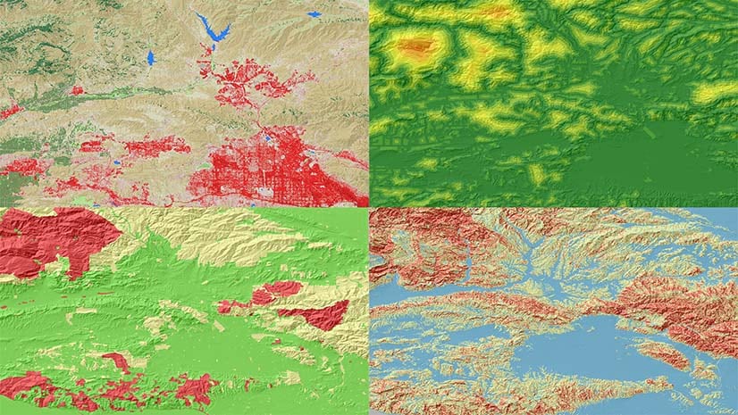
Suitability modeling is one of the most common applications for a GIS analyst. It can be used to determine the best location to build a shopping center, housing development, or ski resort. You can also use it to find the best areas for parks, endangered wildlife habitat, or flood control. Suitability modeling is one of the first applications you are taught when learning GIS. It is the application that made you fall in love with GIS.
Traditionally, creating a suitability model is a linear process. You needed to understand the steps in the workflow in which you independently specify the parameters for each criterion with little knowledge of their effect on the output. You had to trust the process when creating the output.
The new Suitability Modeler is an interactive, exploratory environment for creating and evaluating a suitability model. It is available now for ArcGIS Pro 2.6 with a Spatial Analyst extension license.
The basic premise underlying the Suitability Modeler is that a model is a dynamic process. Constructing a suitability model is a nonlinear, iterative process. At each step of the workflow, analytical feedback is provided through interacting maps, plots, and panes. This allows you to make informed decisions on the parameters you specify and easily see how they will affect the final output.
The Modeler allows seamless back and forth movement between each stage of the model development. What you learn in one stage of the process may influence the decisions you make in another.
Because of the exploratory and interactive nature of the Suitability Modeler, you can justify each step of your modeling process. As a result, you will be more confident in the model output leading to better decisions.
The best way to understand the Suitability Modeler is to see it in action. The following video was presented at the Plenary of the 2020 Esri User Conference.
To learn more about the Suitability Modeler, see What is the Suitability Modeler?
To understand the general steps of a suitability model, see The general suitability modeling workflow.


Really neat stuff Kevin. Congrats to you and the team.