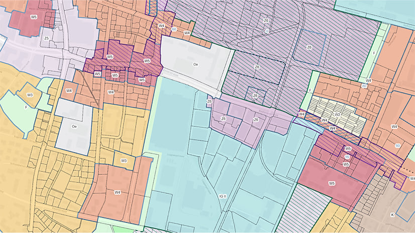
ArcGIS Urban is a web-based 3D tool to help shape the future of your city. The ArcGIS Urban API is an interface that allows you to extend the functionality of Urban and create integrations. We are excited to introduce you to the Urban API v1.0 that has just been released.
In this article, you will learn more about the exciting new possibilities offered by the Urban API v1.0 that will take your urban planning workflows to the next level.
In short, the ArcGIS Urban API is a GraphQL-based API that enables programmatic access to ArcGIS Urban in unique and advanced ways. You can use it to do the following:
- retrieve data and automate your workflows
- extend the functionality of ArcGIS Urban
- create integrations
Let’s look at each of the above in more detail and by using practical examples.
Have you ever felt frustrated by repetitive tasks related to data imports and exports in ArcGIS Urban?
Imagine you want to create multiple projects in ArcGIS Urban. Manually adding the information for each project via the Urban web app would be a repetitive and tedious task that takes a long time to complete.
1. Use the Urban API to automate your data workflows
Now you can use the Urban API to interact with the urban data outside of ArcGIS Urban and automate these repetitive data tasks. By simplifying your processes you can save time and use it for more important planning tasks.
Going back to our example – you can write a script using the Urban API that automates the creation of a project with a variety of input data.

Have you ever missed a custom functionality when working with your urban designs in ArcGIS Urban?
Certain types of analysis or functionality may be useful for your specific use case, but at the moment, they are not available in the Urban web app.
2. Use the Urban API to extend the functionality of ArcGIS Urban
Now you can use the Urban API to expand the possibilities of ArcGIS Urban and customize it to your own needs. For example, run additional metric analysis on the plan level. Use the API to export data from the Urban web app, perform external calculations, and use the Urban API to add your results as a design context layer to your plan.

Have you ever wanted to integrate your own application with ArcGIS Urban?
There are many other applications that can benefit from ArcGIS Urban. Imagine being able to take advantage of the power of ArcGIS Urban in your own applications by implementing an easy and straightforward integration.
3. Use the Urban API to create integrations
Now you can use the Urban API to easily create integrations between ArcGIS Urban and your own applications.
Where to start?
Hopefully, by this point, you are as excited as we are about the Urban API. Maybe you already have an idea about how to make use of it?
If you want to learn more about the Urban API, follow these steps:
- Check the Urban API developer’s documentation
- Go to the GraphQL Playground and play around with the Urban API
- Check the release notes for the most recent changes
And don’t forget to keep an eye out for upcoming releases, additional resources, sample code, and much more coming soon!


Article Discussion: