
National Mapping
Modernizing national geospatial authorities
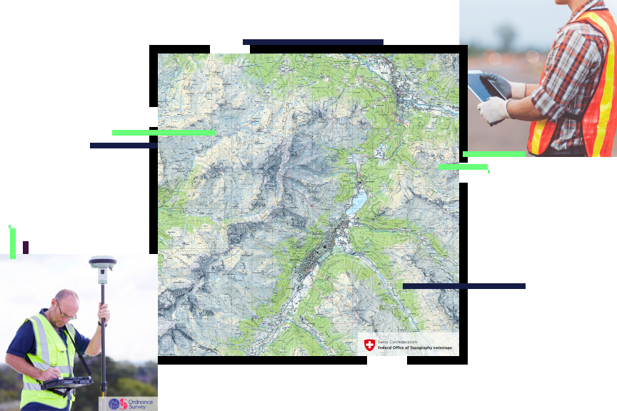
National mapping modernization
National mapping agencies must continue to modernize their geospatial strategies and workflows while remaining effective and cost-efficient. Esri's ArcGIS enables national mapping and geospatial data authorities to:
- Accurately collect and integrate source data and services.
- Effectively centralize and manage information to be secure and accessible across the organization.
- Efficiently produce multiresolution data and information products using automation.
- Seamlessly share and collaborate, and enable your users to make better-informed decisions for your nation.

National mapping strategies
Previous
Next
National mapping webinars and events
National mapping and geospatial authorities need to stay up-to-date with the latest national mapping modernization trends, technology, and information. Attend one of our informative webinars or speak to one of our national mapping industry experts at an event.

Our community
Find out how your peers are using Esri technology to achieve their goals.

Related mapping and charting industries
The complete picture of a nation's land, sea, and air mapping and charting is done in collaboration with national maritime, aviation, land record and cadastre, and official statistical authorities.
Previous
Next