Store
|
Contact Us
|
Careers
Home
Industries
Products
Training
Support
Services
Events
News
About
About Esri
Careers
Esri Video
Partners
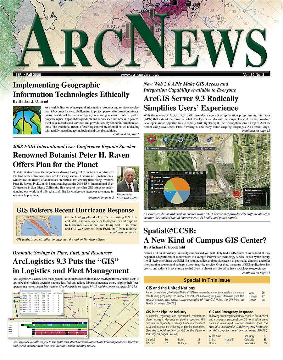
ArcNews
Online
FALL 2008
COVER STORIES
T-SHIRTS WORLDWIDE
Now with exclusive online-only articles.
Previous Issues
Summer 2008
Spring 2008
Winter 2007/2008
Fall 2007
GIS Heroes and Pioneers
have made a difference in the world by applying a GIS solution to a community problem.
Technology and Trends Series Articles
focus on cutting-edge concepts from the top academicians in their fields.
|Includes Podcasts|
ArcGIS Server 9.3 Radically Simplifies Users' Experience
: New Web 2.0 APIs Make GIS Access and Integration Capability Available to Everyone
|Includes Podcast|
ArcLogistics 9.3 is the "GIS" in Logistics
: Esri's New Fleet Management Solution Helps Fleets Get Lean and Go Green
Implementing Geographic Information Technologies Ethically
By Harlan J. Onsrud
|Includes Podcast|
Renowned Botanist Peter H. Raven Offers Plan for the Planet
: 2008 Esri International User Conference Keynote Speaker
GIS Bolsters Recent Hurricane Response
Spatial@UCSB: A New Kind of Campus GIS Center?
By Michael F. Goodchild
GIS Enhances China Relief Efforts
China Earthquake Geospatial Research Portal Launched by Harvard University
: Web Site Promotes Sharing Data About the Magnitude 7.9 Quake
Essays on Geography and GIS
: New Best Practices e-Book
|Includes Podcast|
Esri Provides GIS for the U.S. Navy, U.S. Marine Corps, DTRA
: Technical and Engineering Consulting Services
Ireland, Scotland, Afghanistan, and Nicaragua—Esri T-Shirts Are Fun the World Over
T-shirt Photos from Previous Issues
T-shirts Galore
: Archive of all Previous T-shirt pages
"Crossing Borders" Series Articles
by AAG Executive Director Doug Richardson
"Managing GIS" Series Articles
by leading members of URISA
GIS PRODUCT NEWS
GIS IN ACTION (cont'd)
GIS AND EMERGENCY
MANAGEMENT (cont'd)
|Includes Podcast|
ArcGIS Core Technology Leveraged in Desktop and Server for Business Solution Products
|Includes Podcast|
ArcGIS Online Services—The Foundation of Web GIS
GIS IN ACTION
Using GIS to Remedy Coal Mining's Aftermath
: Pennsylvanian Coalition Designs Mapping Application to Target Areas Most in Need of Reclamation
GIS Fosters Government, Public Communication in Europe
: Local Governments Use GIS to Promote Interagency Cooperation and Coordination
|Online Only Article|
Philadelphia Thanks GIS for the Memories
Boston Showcases Solar Power Potential with Web GIS
Houston Applies Spatial Data and GIS to Support Local Organizations
: Departments Without GIS Skills, Knowledge, and Expertise Can Still Benefit from GIS to Make Better Decisions
Credit Union Streamlines Siting
: GIS Helps Analyze Current and Potential Service Centers
17-State Grasshopper and Cricket Suppression Program Managed with GIS
: USDA Uses GIS Web Technology for Plant Protection Program
Water Resource Community Streamlines Environmental Decision Making
: Kentucky Improves Watershed Modeling Across the State with GIS
|Online Only Article|
GIS Used for Geological Fault Finding Mission
Using ArcGIS Server to Disseminate Geospatial Services
: State and Local Governments
GIS HELPS THE UNITED
NATIONS MEET ITS GOALS
Constructing a Community Water System in Laos
: GIS an Essential Tool to Successfully Complete the Life-Providing Project
Mapping Hunger with GIS
: Analyzing Distribution of Malnourished Children in Panama, Ecuador, and the Dominican Republic
Ghana Project Leverages GIS-Based Title Registration and Microfinance to Alleviate Poverty
GIS IN THE PIPELINE
INDUSTRY
|Includes Podcasts|
Ethanol Buzz Fuels GIS Planning by Colonial Pipeline Company
U.S. DOT Provides Secure Access to the Nation's Pipeline Data with GIS
Smooth Dataflow Assures Smooth Oil Flow
|Includes Podcasts|
DuPage Water Commission Implements Pipeline Data Model
: A Solution for Small-Scale Water Distribution Networks
GIS AND EMERGENCY
MANAGEMENT
|Includes Podcast|
Enterprise GIS for Disaster Management
: Tallahassee-Leon County GIS Rolls Out First Phase of Incident Management System
In Kentucky, Louisville Metro Uses GIS for Snow Emergencies
GIS Hero
David Blankinship at the Forefront of Fire Service Applications
: GIS Analyst Develops Cutting-Edge Enterprise Platform, Helps Battle Recent California Wildfires
Small Agency Does Wonders with a Small Budget
: Nebraska Emergency Management Agency Expands Mobile GIS Capabilities
GIS COMMUNITY NEWS
The 2008 Esri UC Ushers in ArcGIS 9.3 and Connects Attendees
GeoWeb 2008 Conference—Universal Access to Geospatial Information
Crossing Borders: A column by Doug Richardson
GIScience for Human Rights
New Esri Press Book Provides System Design Strategies for Your GIS
URISA's 2009 Conference Schedule
Esri Business Partner Offerings to the GIS Community
Revisiting the Balkan Lynx in Southeastern Europe
Exclusive
ArcNews
Online Articles
Managing GIS
City of Plantation's GIS
New Training and Education Offerings from Esri
Listen to Esri Podcasts
Free Esri Publications
Career Opportunities at Esri