Many Administrators of GIS organizations have expressed the need “to flatten the adoption curve” and “put the data into the hands of analysts quickly” – and the latest release of ArcGIS Earth offers new options to help them achieve those goals by introducing the ability to share custom configuration settings across the enterprise.
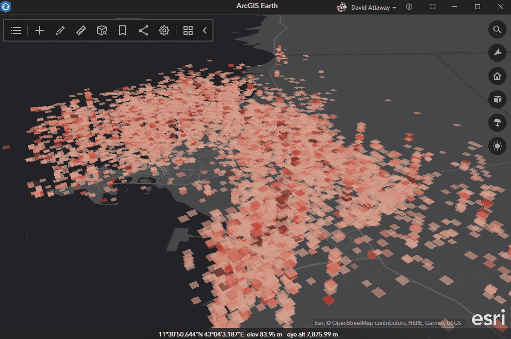
ArcGIS Earth provides situational awareness on desktop and mobile devices for improved decision-making. Users can ingest data in different formats, including 3D models; Keyhole Markup Language (KML), Keyhole Markup language Zipped (KMZ) files; TXT; and open services from ArcGIS or with a URL, to explore areas of interest in 3D. While many of the customers we directly support have limited availability to use mobile, the tips and tricks we will provide below can influence trends to make it easier for analysts to get up to speed faster.
Jumpstarting Users with a Customized Environment
First, when opening ArcGIS Earth for the first time, it may be daunting for a user to understand which portal to use, which datasets are available, how to connect to various different portals to pull in other geospatial data, and how to pull data from KML that’s been in use for 20 years that has just stopped working (requiring the use of KML editing).
What we want to show is that as an administrator deploying ArcGIS Earth, the experience can be tailored specifically to getting individuals off the ground faster.
Since ArcGIS Earth is a free and an easy-to-use tool to quickly fuse, manipulate, and collaborate with 3D data, administrators of GIS software should jump at getting their users the opportunity to incorporate these best practices into their environments and help with tasks to share and collaborate on information.
Step One: Locating and Customizing Config Files
As an Admin, look at the config file (C:\Program Files\ArcGIS\Earth\bin\config.xml) and open it in a text editor. If doing this for the first time, your config.xml will be the vanilla COTS software install. By first creating of copy of the config.xml, and then customizing the interface, administrators can deploy specific portal instances,

PKI Servers (if using a PKI environment),

GIS Services,

And even specific basemaps for users to have at their fingertips…

These simple additions to the configuration file can pay dividends for flattening the curve for adoption, enhancing the ease of use within the desktop interface, and putting the data into the hands of the users.
Step Two: Sharing Customized Config Files
Deploy the custom configuration to your organization with the adjusted config.xml file (replacing the default config.xml file).

Having all the portals initialized from the start makes it easy to bounce from environment to environment to pull the necessary and specific data needed, and also have specific services, data, and information pre-configured with the initial installation file.
Remember that GIS is not about doing work in a vacuum, but about getting the information to the necessary individuals and making it easier to collaborate, disseminate, and share information together. By creating a custom installation file for users, Administrators can tailor the user experience and make it more efficient to get work analyzed, which ultimately saves time, resources, and money for their organizations.
To learn more about ArcGIS Earth, visit our website. You can also download the newest release of ArcGIS Earth mobile and desktop, and visit the ArcGIS Earth Resources page for free training materials and tutorials.


Article Discussion: