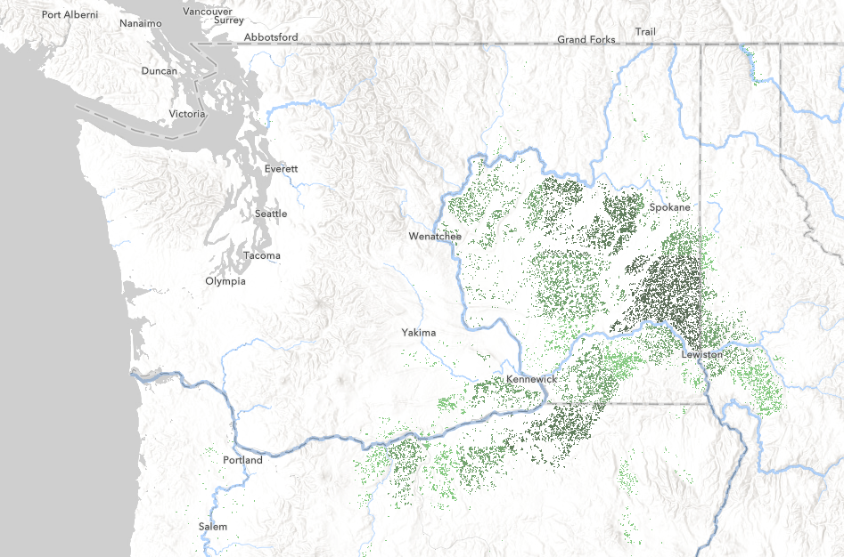
This post is the last of the how-to blogs promised in Our Four Favorite Ways to Map American Agriculture. In that blog I shared a method of combining two layers from ArcGIS Living Atlas using the Destination Atop Blending Mode in ArcGIS Online to create this map of wheat farming:
You can check out the map here and explore the layers and settings or I put together a short video that shows how you can create a simple but sophisticated map like this in minutes with nothing but Living Atlas layers.
If you are interested in learning more about mapping with agriculture layers from Living Atlas the other blog posts in this series are:
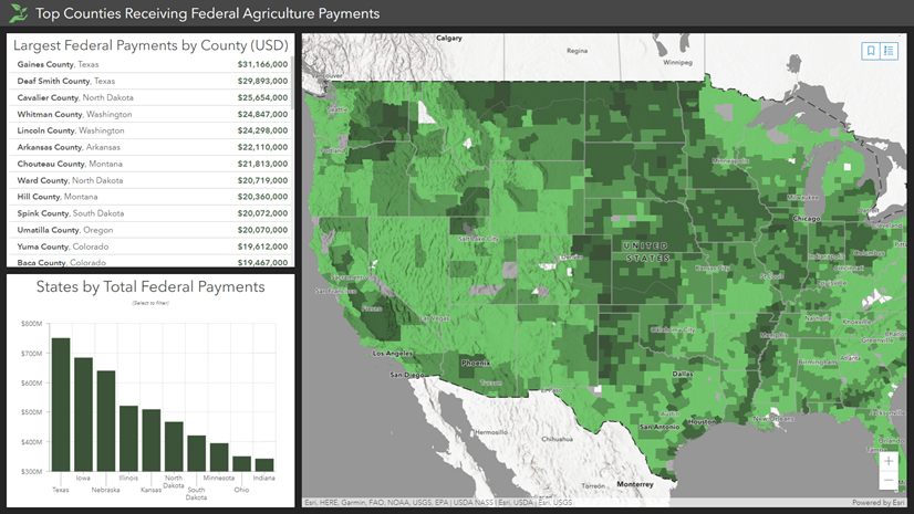
- How to make that app: Census Agriculture Dashboard
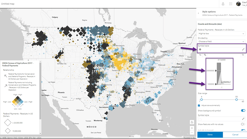
- How to make that map: Census Agriculture Relationship Map
- Is Georgia still the Peach State? Getting crop statistics for the USA using ArcGIS Living Atlas
ArcGIS Living Atlas contains hundreds of ready-to-use layers that you can combine to make your own maps. I encourage you to explore them and get creative!

Article Discussion: