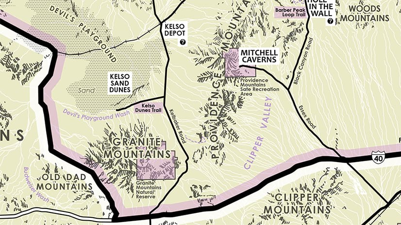
Give your ArcGIS Pro layouts some dimensionality with some mega-easy dropshadow/inner-shadow effects, non-traditional map frame shapes, and classy-glassy extent indicators. Here’s a quick example of a map of the Grand Canyon (which happens to use the lusciously updated World Imagery basemap), with a locator overview and area-of-interest inset.

It sort of has a tactile sense with the three maps having a stacked appearance, in keeping with their increasing scale. The extent indicators (the little box on the smaller scale map, showing you the extent of the larger scale map) are also a bit glassy so as to appear a bit like a little window floating over the area of interest.
Now, before we go any further, I recognize that I have just thrown out “small scale” and “large scale” like a total snob (as opposed to my usual, more colloquial, “zoomed out” and “zoomed in” terms). I now confidently use the terms large/small scale because I was given the gift of the only mnemonic that I’ve ever found remotely helpful.
Where was I? Oh yes, layouts with some pizzazz. The combination of shadow effects and skeuomorphic extent indicators give your map’s insets and overview a sense of depth, and, I might add, a little bit of charm.
In this video, you will learn how to…
- create a non-rectangular map frame
- copy/paste/rotate a map frame
- cobble together a plausible dropshadow (and the reverse thereof)
- create a glass-like extent indicator
- take control of those little service-credits text boxes at the bottom of maps
Bonus points? Rather than a black drop shadow effect (the gradient stroke), try using a dark version of the colors used in your map. Instead of an imperceptibly small extent indicator polygon, play with cheating the extent indicator’s size with negative offsets (fill and stroke) or invoke the point symbol indicator a little earlier than the default (settings). Play with circular insets and overviews. If you’d like a more generalized version of an extent indicator or something more custom, try drawing your own with the layout’s insert polygon (in the “graphics” group) drawing tool.
In any case, hopefully some dimension of this how-to is helpful for you in your ongoing adventures.
Happy Mapping! John


Commenting is not enabled for this article.