ArcGIS Reality Studio, the advanced photogrammetry software for aerial imagery developed by Esri, has undergone significant improvements in enabling large-scale reality mapping. The latest product release introduces new efficiency features that streamline the process of transforming imagery into highly detailed, photo-realistic 2D & 3D representations of the real world. These enhancements optimize the large area reality mapping workflow, allow seamless integration with the Geographic Information Systems (GIS) workflows, and assist you in meeting the specific delivery requirements of end-users and clients. With this product release, you can now deliver pixel-accurate geospatial products in a shorter time frame. My blog delves into the key features of the 2024 Q1 release, showcasing how they facilitate a faster transformation of raw data into analysis-ready geospatial products.
The power of reality mapping.
Reality mapping is a powerful capability for creating detailed 3D representations of real-world objects and environments. It provides a realistic and immersive experience, enhancing spatial understanding. Industries like state and local governments, mapping, surveying, engineering, and urban planning rely on 3D digital representations to make informed decisions and visualize data more intuitively. Reality mapping offers a range of benefits, and when it comes to large areas, the advantages become even more pronounced. Large-area reality mapping empowers you with the ability to conduct scenario analysis, detect changes, and optimize operations. Additionally, large-area reality mapping provides accurate measurements of distance, area, and volume, making it indispensable for various applications, especially those that involve expansive areas.
However, there are also challenges associated with reality mapping of large areas, particularly when working with data from metric cameras. Metric cameras are preferred in aerial mapping applications due to their ability to capture high-resolution images, provide camera calibration parameters, and enable precise measurements. Processing such large datasets can be computationally intensive, time-consuming, while at the same time also challenging to achieve precise image matching. To overcome these obstacles, efficient software is crucial.
Accelerate large-area reality mapping without sacrificing accuracy
The latest release of ArcGIS Reality Studio introduces a new era of efficiency and accuracy in large-area reality mapping projects. By enabling the quick processing of large datasets, precise measurements of control points, and accurate alignment of imagery from multiple flights, you can now complete projects faster. These advancements save time, reduce costs, and ensure the highest level of accuracy and scalability regardless of project size or scope.
I’ve outlined the latest efficiency features for you below.
Process large datasets quickly with distributed processing.
Distributed processing is a game changer for those using aerial images from metric cameras to map large areas of interest. In the past, processing speed was limited by the processing power and storage capacity of an individual machine. Now, you can dynamically task other ArcGIS Reality Studio instances in the same local network to contribute to the processing of large datasets. This enables you to process large datasets exponentially faster, leading to improved efficiency and productivity.
Using the new distributed processing capability in ArcGIS Reality Studio, you can process datasets from large areas of interest in a fraction of the time. Easily view the progress of each task for a particular reconstruction, visualize which areas of your reconstruction have completed processing, and monitor progress as you continue working on your local machine.
Efficiently measure control points.
Control points are specific features or markers with a precisely known location and identifiable in an image that are used as reference points for accurate measurement and alignment. Often, they are manually identified and marked in the images, which is a time-consuming and labor-intensive process. ArcGIS Reality Studio speeds up the process of measuring control points by effectively transferring initial manual image measurements to the rest of the image candidates.
Automating control point measurement offers several benefits, including increased efficiency and accuracy in aligning images. It saves time by using a specialized algorithm to automatically detect potential control points.
Accurately align imagery collected across multiple flights.
Aligning multiple images from multiple flights can be challenging due to variations in flight parameters, image quality, estimating relative positions and orientations, and computational complexity. However, with ArcGIS Reality Studio, you can now align imagery from multiple capture sessions simultaneously in a single optimization process. This allows for high global and relative orientation accuracy across the entire dataset, while also correctly estimating systematic errors associated with each flight and camera, such as global offset, boresight misalignments, and lever arm misalignments.
ArcGIS Reality Studio simplifies the alignment of multiple images from different flights, resulting in precise mapping of large areas. It ensures accurate representation of reality across a wide expanse, making large area reality mapping more accessible and user-friendly.
GIS-ready photogrammetry
ArcGIS Reality Studio now enables you to incorporate 3D spatial data into GIS workflows with even greater accuracy and efficiency. By adding photogrammetric data to your GIS, you can and visualize, interpret, and analyze real-world objects and terrain in a geospatial context, leading to better decision-making, planning, and resource management. And, the latest release of ArcGIS Reality Studio introduces new capabilities for seamless integration with even more working environments.
Discover the latest features that demonstrate the compatibility of ArcGIS Reality Studio with GIS in the following section.
Easily export products to ArcGIS Pro.
The latest enhancements have simplified the process of integrating data from ArcGIS Reality Studio into other ArcGIS workflows, including ArcGIS Pro. By creating a geodatabase that houses the essential data objects from your ArcGIS Reality Studio project, you can seamlessly share and incorporate data across different ArcGIS tools and projects. This interoperability enables you to effortlessly transfer and leverage data in various ArcGIS workflows, facilitating comprehensive analysis, visualization, and collaboration across different applications and projects.
Share results with clients and within your organization using ArcGIS.
You can now publish all geospatial products generated by ArcGIS Reality Studio to ArcGIS Online and ArcGIS Enterprise. This creates easy sharing and widespread access to geospatial products across different platforms, facilitating collaboration, data sharing, and decision-making among end-users within your organization or the wider community.
Use ArcGIS Reality Studio behind a firewall or in offline environments.
ArcGIS Reality Studio now allows users in high-security environments with limited or no internet access to utilize all the features of the software. This enables comprehensive data analysis, visualization, and collaboration without the need for internet connectivity.
Meet delivery requirements for every project
Photogrammetrists face diverse delivery requirements for their geospatial products, ensuring the products meet end user expectations. These requirements encompass accuracy standards, data formats, coordinate systems, file naming conventions, and quality assurance measures. Now, ArcGIS Reality Studio provides flexibility to ensure that the products they produce align with the specifications of their end users or clients.
Versatility for converting rasters and point clouds.
ArcGIS Reality Studio users can now convert formats, clip results to a region of interest, retile data, resample rasters, and reproject the output to a different spatial reference. This enables data compatibility with different software and formats, facilitating seamless integration of data from various sources. Additionally, it enhances visualization capabilities, allowing you to create more immersive experiences in ArcGIS Reality Studio. Moreover, it enables advanced analysis capabilities, improves data management efficiency, and promotes interoperability between different software and systems, fostering effective collaboration and data exchange.
Expand your reality mapping potential
The latest release of ArcGIS Reality Studio introduces a range of features that significantly enhance the efficiency, accuracy, and collaboration capabilities of photogrammetric production. From distributed processing and improved control point measurement to seamless integration with ArcGIS Pro and flexible conversion options, these advancements empower you to streamline your workflows and achieve exceptional results. With the ability to securely operate in high-security environments, ArcGIS Reality Studio sets a new standard for photogrammetric software. Be sure to watch this short video to see the new capabilities in action!
Contact a sales representative to learn more.
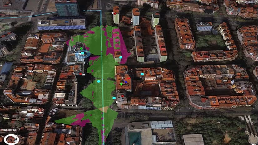
Blog background is a 3D mesh of the city of Stuttgart, Germany. Data source: Geofly GmbH – Vexcel Osprey 4.1 – processed with ArcGIS Reality Studio by Esri.


Article Discussion: