The June 2022 release of ArcGIS Business Analyst Web App and ArcGIS Community Analyst contains major updates to U.S. demographic content, including the most recent data from the 2020 U.S. Census and 2016-2020 American Community Survey (ACS) variables.
Helen Thompson’s excellent article, Migrate custom Business Analyst content to 2022 Esri Demographics, provides answers to some of the questions about migrating to the latest Esri 2022 Demographics data source. This article takes a deeper dive into why geographic sites are not also migrated automatically to the Esri 2022 data source.
How do I use my geographic sites?
Unlike custom infographics and variables, geographic sites cannot be automatically migrated to the new data source—you must “migrate” them manually by creating them again in the new data source. The purpose of this article is to discuss the best practices for using geographic sites based on Census geographies that span the two different vintages of data. As Helen’s article states:
There are some significant changes between the fundamental building blocks of the 2022 Esri Demographics, which are built on top of the most current Census geographies. Block groups, census tracts, ZIP codes, and even some counties have undergone change between 2010 and 2020. DMAs and CBSAs have also undergone considerable changes. Because of this, and the way geographies can be merged to create custom geographic sites, there is no way to migrate these analysis areas across different data sources and geographic boundaries.
Let’s dig into what this means in practice. I previously created a project in Business Analyst Web App that contains two geography sites in the Esri 2021 data source:
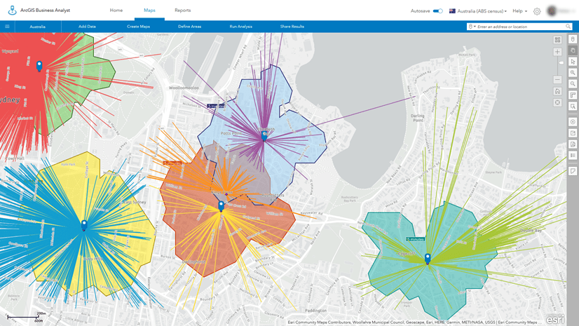
- I have a set of Census tracts selected in San Diego that have been merged into a single site.

- In another Geography (Sites) layer, I have a collection of counties saved as separate sites for some analysis I am doing in the southwestern United States:

As long as I am working in the Esri 2021 data source, I can continue to work with these standard geography-based sites and create reports, infographics, and run analyses. However, if I switch to the latest Esri 2022 data source using the country switcher:

I see that “No data” is listed under each of these areas, where I’d expected to see my geography sites:

To be clear, these standard geography sites are not gone – I just need to switch back to the Esri 2021 data source to access them. Because these standard geography sites were created based on the Census 2010 boundaries, their borders are incompatible with the new boundaries contained in the Esri 2022 data source.
In order to use these sites in the Esri 2022 data source, I need to re-create them using the new Census 2020 boundaries, capturing the most up-to-date demographic and geographic information available.
How do I recreate my standard geography sites in the new data source?
To create geography sites in the Esri 2022 data source, you can use the Select Geography tool like you have previously. This video provides a good summary of how to create new standard geography analysis sites by searching for features, selecting them from lists or maps:
Can I add my previous standard geography sites to the map as a reference?
There may be instances where you want to add previously created standard geography sites to the map to help you re-create standard geography-based sites with the new Census 2020 boundaries used in the Esri 2022 data source.
In the Maps tab, start by clicking Add Data and select the Web Maps and Layers option.

In the Web Maps and Layers window, select the My content tab at the top and select the BA – Project Data folder on the left panel.

Note for Community Analyst users: Select the CA – Project Data folder.
All the map layers from your project are contained in the feature service with your project name. For example, all the content for my “Demo Project” can be added by selecting this card and clicking the Open button.
All the sites and content for this project are automatically added to the map. A tip here is to uncheck the entire folder contents so that it does not take a long time to add all the content to the map:

Here you can see that I’ve added the geography site with the collection of Census tracts in San Diego previously created with the 2021 data.

I can then select Define Areas > Select Geography and use the Select From Map option to rebuild a similar analysis area using the Esri 2022 data source with the new Census 2020 boundaries. After the Census tracts are added to the map, I select the tracts that correspond to my previous site and build a close approximation of the analysis area:

Zooming in to one of the areas, you can see the differences in the IDs for the Census tracts and how the boundaries have changed. The green shaded area represents the area created with 2010 Census Tracts, while the diagonal-shaded areas represent the new tract boundaries. Notice that a portion of this neighborhood is now moved to another Census tract as of Census 2020:

The example above illustrates how you can rebuild geography sites as you work with your analysis areas. This will also provide an opportunity to understand the changes that have occurred in your markets and allow you to make the most informed decisions for how to deal with them.
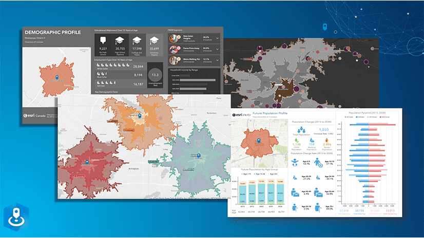
Once your new geographic site is created, you can use it with the Esri 2022 data source to create reports, infographics, and other analysis workflows:

What if I have lots of standard geography areas?
If you have lots of standard geography areas in your project, there may be too many analysis areas to add using the method described above. Another alternative approach is to add the individual standard geography sites to the map that you want to migrate from the Esri 2021 data source. Then choose the option to Share Results as a new ArcGIS Web Map:

Once the web map is created, you can add it to your project while using the Esri 2022 data source by clicking Add Data and select the Web Maps and Layers option. Select the Web Map you just created in the My content tab to add the areas to the map. Then you can use these areas to help re-create new standard geography sites with the Census 2020 boundaries.
How have geographic boundaries changed?
Census boundaries have changed dramatically between the 2010 and the 2020 Census. This resource from the U.S. Census Bureau provides some good information about geography boundary changes between the two decennial Censuses: U.S. Census: Geographic Boundary Change Notes
Specifically, this resource provides “an online resource for selected geographic changes to incorporated places, census designated places, county subdivisions, counties and equivalent areas.”
To give an idea of the scale of changes that users can expect, if I select the State of Virginia to view boundary change notes:

There are 502 boundary change notes in Virginia, including 66 different county boundary corrections/changes!
Here is an example of just one of these changes:
- Loudoun County (107), Dulles district (93415) gained territory from Fairfax County (059), Sully district (95999).
Not discussed on this resource from the U.S. Census are the impacts of smaller geography units like block groups, Census tracts, etc. These have dramatically changed between the two decennial Censuses. One of the main reasons previously selected standard geographies cannot be used is that Census Geographic IDs (FIPS codes) cannot be reused from 2010 to 2020 because the code-to-area relationship is not maintained.
You can see this issue in this great swipe story map from the Living Atlas Team: Compare 2019 to 2020 Census Tracts
Here is one example, again using Loudoun County to illustrate. The magenta Census tracts are used in the Esri 2021 data source. Look how the FIPS code changed in the new Census 2020 blue boundaries and see how the selected tract is a dramatically different size!

Looking at the same Census tracts in Business Analyst, you can see that the single tract selected in the example above in the Esri 2021 data source is split into two separate tracts with a combined population of over 6,000 people.

We certainly recognize that if you have spent time building and saving standard geography areas to use in your analysis, it is frustrating to have to rebuild them. Unfortunately, boundaries between 2010 and 2020 prevent any sort of automated migration. On the bright side, this is an excellent opportunity to learn more about and take advantage of the most current demographic and geographic data available.
By using the past-year data source, Esri 2021, you can continue to work with the geographic boundaries based on the 2010 U.S. Census, providing you with extra time to rebuild your standard geography-based sites in the Esri 2022 data source. Take a deep breath—you’ve got time to migrate at your own pace.
Do I need to re-create point-based sites and hand-drawn sites?
One final point about migrating sites between the different vintages of U.S. data: buffer rings, drive times, and sites drawn by hand are available in both the Esri 2021 and Esri 2022 data sources. You can add a site from a historic project that uses the 2021 data source, switch to 2022, and those sites will still be available. Only geographic sites, which are built from formal geographies, change with this data update.

Article Discussion: