The June 2023 update for ArcGIS Experience Builder includes major performance enhancements for the Map widget. The widget is now capable of truly synchronized extent changes, which include camera rotation and tilt.

The update is available now in ArcGIS Online and the latest version of the developer edition.
Why sync maps?
To compare two maps of the same place. Digital maps often have a user interface that allows two or more maps to share the screen and interact. Creative examples of comparison apps include the Boston Public Library’s Atlascope, which lets you view historic urban atlases next to modern road maps, and Esri’s Sentinel-2 Land Cover Explorer, which lets you view land cover changes over time using a swipe tool.
Experience Builder includes customizable widgets that you can use to make an app for comparing two maps. The Map widget allows you to synchronize its extent changes with another Map widget, meaning that if the user zooms or pans one map the other will follow to that same extent.
To synchronize two Map widgets, add the Extent changes trigger in the Action tab of a Map widget’s settings. Select another map as the target, then add either the Zoom to or Pan to action, or both. Do this for both maps, making each target the other.

Synchronized maps are faster than ever
Previously, one map would take a moment to catch up when you changed the extent of the other. Now, synchronized extent changes happen simultaneously.

Map sync now includes rotation and tilt
In addition to panning and zooming, you can navigate a digital map by rotating and, in 3D scenes, tilting. Now, when you link two maps with the Zoom to message action, their rotation and tilt behaviors are also synced.

Try it: Sync 2D and 3D maps (5 mins)
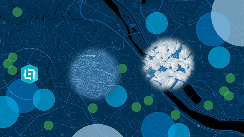
In this tutorial, you’ll synchronize the extent changes of two maps of Portland, Oregon using triggers and message actions.

More information
For more information about Experience Builder, see the following resources:

Article Discussion: