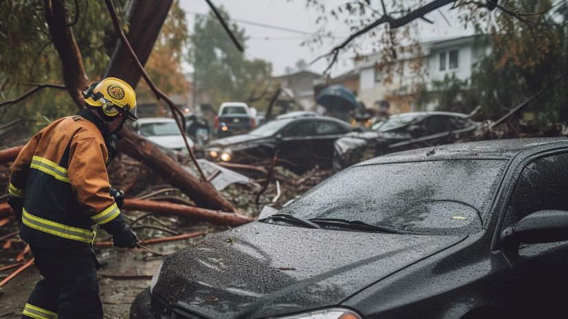
In emergency management, we often say we should plan to respond, but perhaps this should be rephrased to emphasize one of our most critical roles. It’s time that we plan to recover. Having tools and technology at our fingertips to expedite the recovery process is exactly what we need.

Here at Esri, one of our most popular emergency management solutions just got an update, and I am so excited to share it with you!

Over the years, Esri’s Damage Assessment solution has had tremendous success within the industry, helping emergency management organizations expedite the recovery process and receive federal funds. In Matanuska-Susitna Borough, Alaska, the solution allowed the GIS team to collect data that helped the borough apply for critical state, federal, and local aid following a recent windstorm. The Damage Assessment solution is aligned with Federal Emergency Management Agency (FEMA) programs to ensure that the information collected meets the agency’s requirements. This alignment proved essential in helping quantify the windstorm damage and efficiently move through the disaster declarations required for appropriate aid. Ultimately, 1,718 damage requests for public assistance were reported. Of those requests, 1,681 were for debris removal. These reports were managed using the Damage Assessment solution and generated approximately $1.4 million in recovery costs. The deployment of GIS technology by the borough enabled staff to quickly share data with state and federal government agencies, resulting in improved efficiencies in processing resident and business applications for aid.
What Can You Expect in This Latest Revision?
Esri’s updated Damage Assessment solution aligns to FEMA’s 3.2.9 survey templates, most notably within Individual Assistance and Public Assistance. Here are some highlights:
Individual Assistance

- Changes to the surveys are reflected in the multifamily property collection section and include additional questions about homeowner’s insurance.
- Users can now upload up to 10 photos per property, compared to the previous limit of 3 photos.
- Assessment categories now include Not Affected to indicate that no damage has occurred, providing reassurance to homeowners that their house is OK.
Public Assistance
- The solution now includes a public assistance damage inventory, which FEMA includes as a template in addition to the full public assistance survey.
- Surveys now include line and polygon areas to help give a clearer indication of the extent of the damage.
Rest assured, many of the features that our users love about the Damage Assessment solution have not changed:
- It still aligns with FEMA’s damage assessment processes.
- If you have another system or capability in place that needs to be complemented by this tool, that’s not a problem. Organizations can choose to implement any of the capabilities delivered in the solution, and you can configure them however you like.
- Assets and responders in the field can still be tracked using ArcGIS Tracker. The tracks can be used to verify that neighborhoods have been canvassed and to ensure field staff are safe.

Do you want to see what it’s all about? Go to this page to deploy the solution.
To learn more about how Esri supports Emergency Management, click here.
Happy mapping!