Esri User Conference 2022 returns to San Diego! We have prepared a focused agenda for ArcGIS Maritime and ArcGIS Bathymetry to help you navigate the hundreds of sessions and activities being offered. First, is a brief overview of the product and the benefits it offers.
What are ArcGIS Maritime and ArcGIS Bathymetry?
ArcGIS Maritime allows you to produce and maintain IHO S-57, S-100, and S-4 standards-compliant nautical products through fully automated desktop tools. These authoritative datasets can then be made available as web services and can be included in other applications to support a variety of needs such as analysis and situational awareness.
ArcGIS Bathymetry is a geospatially enabled bathymetric data management, visualization, and dissemination solution that supports a broad range of data types and provides tools for streamlined data access and quick generation of custom bathymetric surfaces.
Who should be interested in these products?
These products server a variety of organizations in addition to traditional nautical chart producers such as national hydrographic offices. For example, ports and dockyards need to maintain a minimum dredged depth to ensure vessels can safely access port facilities. This can often mean constant surveying and frequent dredging. The timely dissemination of the latest survey data to port pilots, harbor masters, port administrators, and mariners is critical for uninterrupted port operations. The recently released new capabilities in ArcGIS Maritime for ArcGIS Pro can be leveraged to automatically convert the latest survey data into bathymetric electronic charts that adhere to international standards and can be used in the bridge of a ship. This data can also be published as web services for use in desktop or mobile applications, like a portable pilot unit (PPU), thereby putting the latest information directly into the hands of users.
Did you know that you can import your data into the ArcGIS Maritime geodatabase, create and publish a mobile map package (MMPK), and bring it into ArcGIS Field Maps? This workflow benefits coast guards, navy, law enforcement, marine freight operators, and harbor pilots, enabling them to perform activities like field data collection and emergency response.
The ArcGIS Bathymetry team is in the process of developing a completely reimagined product to be released in 2023. Join us during the Demo Theater session indicated below and/or visit us at the Bathymetry kiosk to learn about this product’s transformation into a more inclusive, more interactive way to work with your bathymetric and associated data.
Read on to find out about sessions and showcase details at the upcoming User Conference.
Demo Theater – ArcGIS Maritime: What’s New
Thursday, July 14th at 10.00 AM PDT
Offered in-person in SDCC – Expo Demo Theater 11
Learn about the new tools in ArcGIS Maritime that allow you to create bathymetric navigational charts directly from the latest survey data and share that data as web services. We will also illustrate workflows in ArcGIS Bathymetry to manage, publish, share, and query navigational data in ArcGIS Pro and ArcGIS Enterprise.
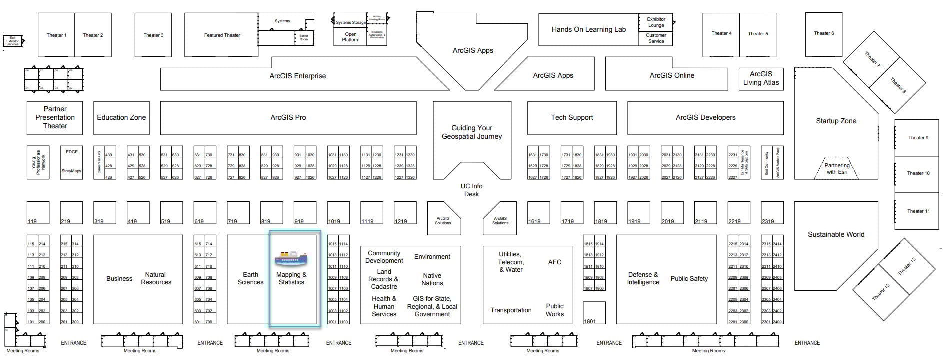
Have more questions or would like to see a demo? Stop by the National Mapping & Official Statistics showcase area on the ground level, Exhibit Hall B, during these times.
- Tuesday, July 12th 9 AM-6 PM PDT
- Wednesday, July 13th 9 AM-6 PM PDT
- Thursday, July 14th 9 AM-4 PM PDT
We’d love your feedback!
Help our team prioritize new capabilities to build into ArcGIS Maritime by completing this 5-min survey.
Take this survey to provide information on how you work with hydrographic data.
Resources

Article Discussion: