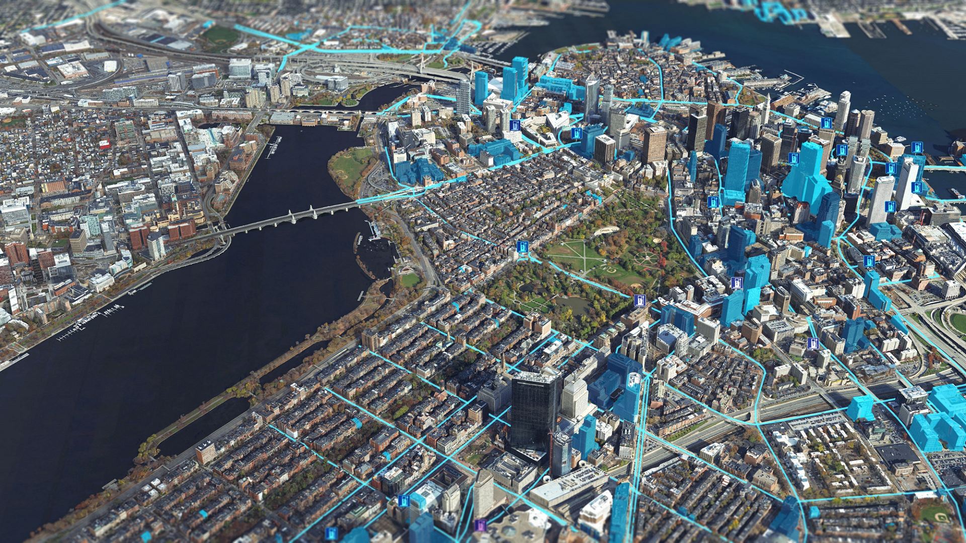
Digital twins: powerful, precise – and secure
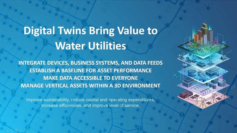
As cities and industries embrace digital transformation, digital twins have emerged as powerful tools for modeling, monitoring, and optimizing real-world systems. These highly accurate, survey-grade 3D representations are more than just visualizations—they are operational models, tightly linked to real-time systems and designed to drive decisions and actions.
However, with this power comes vulnerability and responsibility. The true risk doesn’t lie in the digital twin itself, but in the vast streams of data that fuel it. From infrastructure schematics to live sensor feeds, this data can expose critical systems to cyber threats, privacy breaches, and misuse if not properly secured.
Digital twins can be built on geospatial data – often collected at survey-grade accuracy—and can include sensitive details about infrastructure, utilities, and operations. This level of precision, while essential for solving real-world problems, also introduces security vulnerabilities if organizations do not properly manage the data. The threat lies in accessibility, editability, and shareability of that data – especially when it includes critical infrastructure or private operational systems.
When accuracy becomes a liability
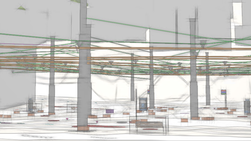
The value of a digital twin lies in its accuracy and detail. But that same fidelity can expose:
- Building schematics and access points
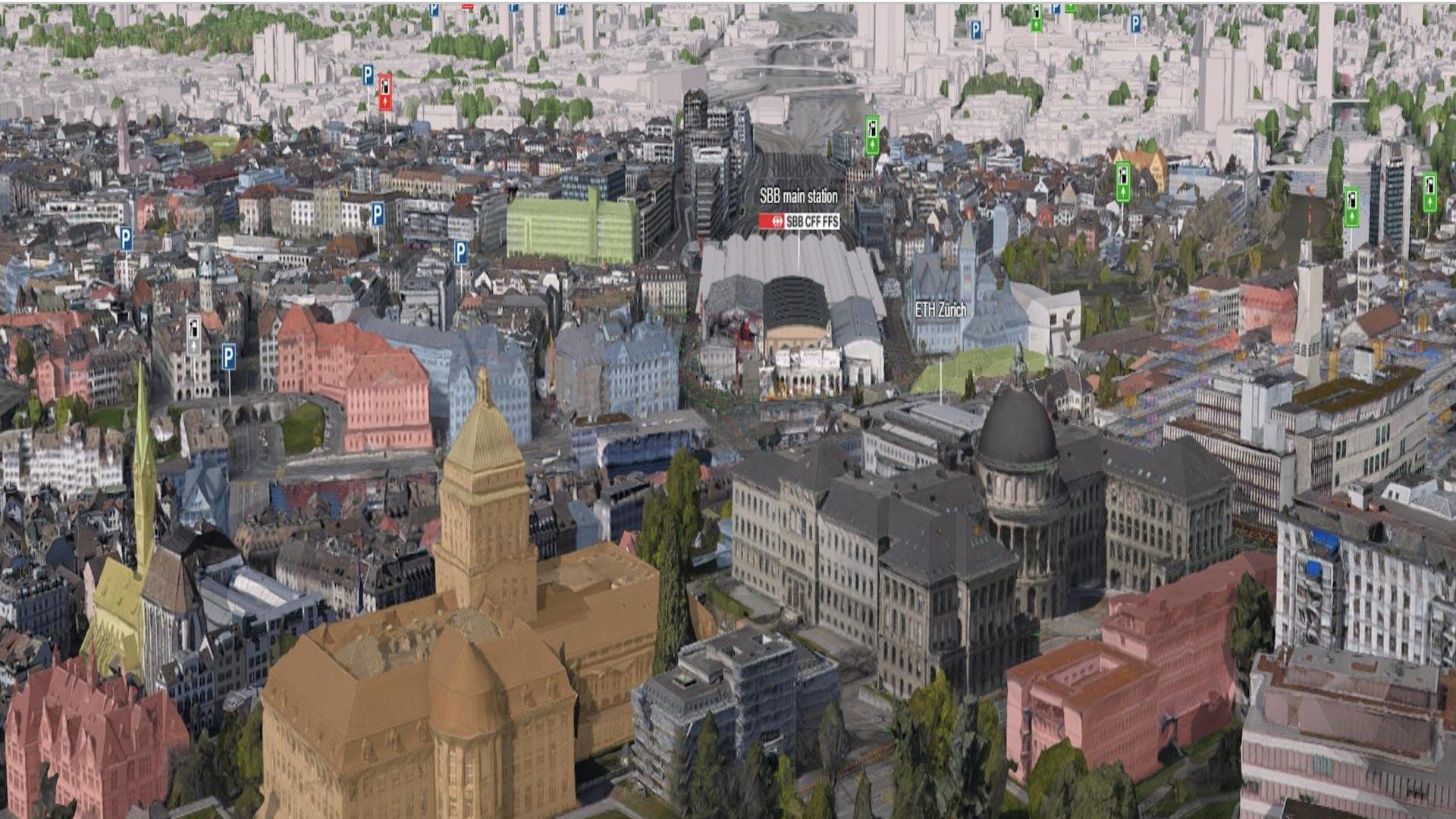
- Underground utilities and traffic control systems
- Operational workflows and emergency response plans
Unauthorized users accessing this information can pose operational, physical, and cybersecurity risks.
Balancing openness with smart access control
At Esri, we’ve long championed open data. Through platforms like the Living Atlas, we make non-sensitive geospatial data freely available – not just to customers, but to the public through apps like ArcGIS Earth. This openness empowers users to innovate, enhances transparency, and enables communities to make better decisions.
Rather than weakening or abandoning openness, we view this as an opportunity to make access smarter. Esri’s ArcGIS platform provides a granular, role-based approach to data governance that ensures digital twins remain secure while delivering flexibility and value. With ArcGIS, organizations can:
- Classify data by sensitivity
- Control access by user roles
- Track and audit data usage
- Secure APIs for controlled sharing
- Adhere to standards like ISO 27000 and FedRAMP
This means that organizations can limit sensitive data – such as the interior of buildings or utility networks – to authorized professionals, such as emergency services or utility operators. At the same time, non-sensitive data that is valuable to the public remains open and available. The result is a balanced model: open where it creates opportunities, protected where it matters most.
Role-based permissions with ArcGIS user types
The new ArcGIS User Types allow organizations to tailor access and editing rights based on specific roles:
- Viewers: Read-only access for policymakers or the public
- Contributors: Limited editing for municipal departments or service providers
- Field Workers: Mobile access to task-specific data
- Creators: Build maps and dashboards within access limits
- GIS Professionals: Full access to advanced tools, within assigned domains
Furthermore, combined with group- and layer-based access controls, this enables even finer-grained management. Users see exactly what they need for their tasks – no more, no less. This supports a modern security strategy that balances openness with control – a crucial step toward resilient, trustworthy digital twins.
Security beyond access: managing downstream use
Security doesn’t end at access; it extends to how organizations use, share, and interpret data. Organizations must ensure that data is used only for its intended purpose; third-party integrations are secure, and exports and visualizations are sanitized. This is especially important when public datasets are combined with private, sensitive data in a digital twin. Organizations must design the twin to be secure, with flexible controls that evolve as new users and use cases emerge.
Purpose-built for real-world impact
Digital twins are purpose-built to solve real problems, from climate resilience to emergency response. Their power comes from the data they integrate, which often spans multiple departments, domains, and disciplines.
Therefore, organizations must embed security from the start. A digital twin should be interoperable across systems, contextual to the problem it solves, and controlled in how data is accessed and used.
This approach ensures that digital twins remain resilient, trustworthy, and adaptable.
Secure the data, empower the twin
Ultimately, organizations must balance openness and security in the future of digital twins. With the right data governance strategy, powered by ArcGIS, organizations can protect sensitive infrastructure, enable innovation through open data, and build trust with citizens and stakeholders.
Let’s build digital twins that are not only smart and open – but also secure and resilient.
Explore what’s possible
👉 Discover how Esri’s proven ArcGIS technology delivers comprehensive capabilities and multiple deployment options for architecting a secure digital twin system.



1. Where Security Really Starts
2. When Accuracy Becomes a Risk
3. Esri’s Role-Based Access Approach
4. Open Data ≠ Uncontrolled Access
5. Beyond Access: Securing Use and Interpretation