ArcGIS Solutions helps you make the most of your GIS by providing purpose-driven, industry-specific configurations of ArcGIS.
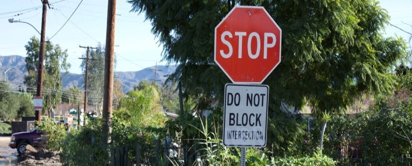
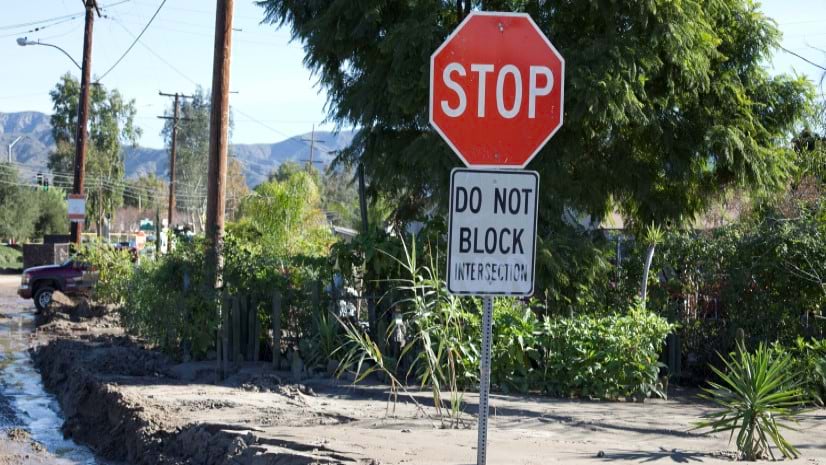
Street signs, traffic signals, streetlights. Traffic control devices (TCDs) are critical for the safe and efficient transportation of people and goods. They communicate rules, warnings, guidance, and other information that you need to safely navigate roads. Properly maintained TCDs save lives, prevent injuries or property damage, and improve traffic flow.
Traffic troubles
While most of the nation’s roads are managed by state and local governments, the Federal Highway Administration (FHWA) Manual on Uniform Traffic Control Devices (MUTCD) sets minimum standards and ensures uniformity of TCDs across the nation. Public agencies rely on the MUTCD for uniformity, and noncompliance or missing TCDs can result in the loss of federal funds and a significant increase in liability.
But problems are inevitable: Exposure to the elements degrades TCDs over time, extreme weather events can damage or even destroy them, and even a single street sign can be a hazard if it’s placed too close to a roadway. Road maintenance organizations try to mitigate safety issues and reduce maintenance costs with routine inspection and maintenance, but keeping track of thousands of TCDs and their asset conditions can be challenging.
Beat the traffic
ArcGIS Solutions offers a trio of solutions that help keep traffic moving. More specifically, the Sign Management, Signal Management, and Streetlight Management solutions deploy with a set of layers, maps, and apps to help your organization manage your TCDs and related assets.

Modernize TCD inventories
- Data management—Use an ArcGIS Pro project with preconfigured tasks to load, create, or update your TCD data. Capture new assets from record drawings or imagery that your organization maintains.

- Desktop editing—Use an ArcGIS Experience Builder app to create or edit features in the inventory.

- Field data collection—Use ArcGIS Field Maps to add assets, conduct inspections, and record maintenance activities from the field using a mobile device.

Streamline inspection and maintenance activities
- Monitor operations—Use an ArcGIS Experience Builder app to monitor asset conditions, streamline inspection and maintenance activities, manage service requests and create work assignments.

- Submit requests—Use an ArcGIS Survey123 form to enable the public to identify issues and submit service requests.

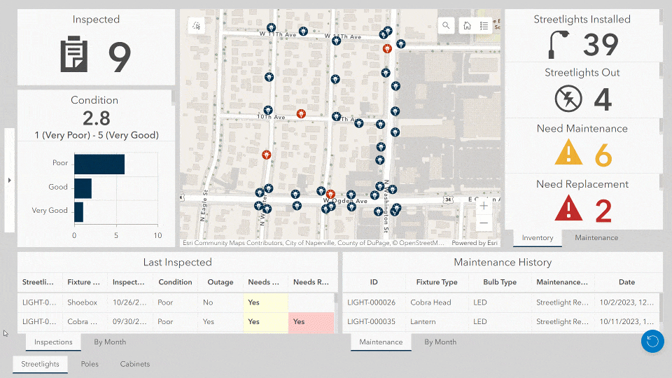
Understand asset conditions
- Visualize assets—Use an ArcGIS Experience Builder app to view and evaluate an asset’s characteristics, including condition, inspection, and maintenance information. The app also allows you to view assets in a 3D representation.

Three solutions, one feature service
The next time you’re stopped at a busy intersection, take a closer look. There’s a good chance that you’ll notice signals, signs, and streetlights all affixed to same pole. Sharing infrastructure is great for optimizing space at an intersection, but it can also make it challenging to model TCDs in a system of record. ArcGIS Solutions can help.
All three solutions use the same foundational feature service: TrafficControlDevices. The TrafficControlDevices feature service includes a layer for each asset type and a table for tracking maintenance records. If you are using two or three of the solutions simultaneously, the feature service will not duplicate data layers.

The information products in each solution only use and display relevant features based on the assets that are being collected. Your organization can manage each TCD within its own solution, while only having to maintain one authoritative data source.
Ready to roll?
Sign Management, Signal Management, and Streetlight Management—like all of our solutions—are included in ArcGIS with one-click deployment. You can start modernizing your asset inventories and streamlining inspection and maintenance activities today.
Learn more
For more information about our traffic control device solutions, check out the following resources:
- Sign Management
- Learn how to deploy, configure, and use the solution.
- View a demo video.
- Signal Management
- Learn how to deploy, configure, and use the solution.
- View a demo video.
- Streetlight Management
- Learn how to deploy, configure, and use the solution.
- View a demo video.
- Read related blog posts:
- Learn more about ArcGIS Solutions.


Article Discussion: