Introduction
In a perfect world, data created during the design and construction of infrastructure projects would seamlessly become maintenance ready. Owners and operators would be able to easily find and access this information throughout the asset life cycle and reuse it to plan capital improvements or improve efficiency. In the real world, this often is not the case.
With ongoing operations and maintenance (O&M) costs making up most of the costs over an asset’s lifespan, the question arises as to how operators can achieve greater efficiency. Enter ArcGIS GeoBIM—a cloud-to-cloud application that connects geospatial data in ArcGIS with design and construction information in Autodesk Construction Cloud.

Challenges that infrastructure owners and operators are facing
Data is siloed, outdated, and difficult to locate
Projects create a lot of data from different stakeholders, from documents and CAD drawings to maps and models. This disparate data is often stored in different systems, formats, and locations, making it hard to find, use, and share.
Linking directly to data at its source allows users to easily access information in real time, reducing errors and costly file conversion. A connected data environment brings together siloed data for stakeholders to access what they need and when they need it in the context of their work.
Increasing operational efficiency and resilience
With connected data environments, information can be accessed and shared by all relevant participants. This allows for improved knowledge exchange of the latest information in real time. When an asset or facility manager has access to the data they need at their fingertips, they can increase staff productivity, minimize unplanned repairs, and improve response times in the event of repairs or service disruptions.
Portfolio managers who need to reduce risk and improve efficiency can more easily use insights from performed maintenance to plan better. Accurate data promotes greater operational efficiency and resilience, leading to better communication.
Effective communication with multiple stakeholders
Access to connected, accurate, and complete data helps to overcome the challenges of exchanging information between stakeholders and skillsets. Whether it is project statuses, documentation, schedules, or locations, ineffective communication costs time and money.
Asset and facility managers need insight into operational performance to manage their assets effectively. Regulations and the need to modernize operations for smart cities and infrastructure initiatives make this even more difficult.
Directors, managers, engineers, and contractors also have different communication needs. This has led to using paper-based reports and custom-built applications that quickly become outdated or obsolete.
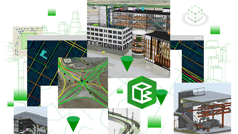
How ArcGIS GeoBIM can help
ArcGIS GeoBIM provides an easy-to-use, web-based experience for teams to connect design and construction (BIM) data in Autodesk Construction Cloud with contextual geospatial information in ArcGIS.
With ArcGIS GeoBIM, teams spend less time converting files and searching for accurate, up-to-date information. With secure access to project data—including 2D and 3D information, documentation, and issues—operational teams can make better decisions.

ArcGIS GeoBIM creates a seamless connection with up-to-date facility documentation, construction plans, blueprints, and reports directly from Autodesk Construction Cloud. Linked information can be easily located in geographic context using a map-based interface powered by ArcGIS—Esri’s comprehensive geospatial platform. This reduces the need to convert data and allows teams to avoid making decisions based on outdated or incomplete information.
Finding the necessary documents on a map saves time when processing work orders and allows teams to be more productive. Search for items by zooming in on a map to see connected data without navigating through hundreds of project documents or files. In addition to the automatic links created by ArcGIS GeoBIM, users can also link existing features to nongeographic data.

Now that GIS, design, and construction data are connected, you can create shareable web apps with ArcGIS GeoBIM. With dashboards, tables, maps, and interactive views, you can configure apps that accurately display the latest data about assets, operations, and project progress. Architecture, engineering, and construction (AEC) firms delivering new projects can configure ArcGIS GeoBIM apps to give operators early insights into project progress.
This helps owners and operators reduce time-to-commissioning after handover by reusing data that was generated during project delivery. Teams can easily access the data they need without the need to install desktop software or specialized training, maximizing the value of your data and improving communication.

Clearly communicating up-to-date information in a way that is tailored to and understood by all stakeholders can be enormously powerful, particularly without the need for data translation or custom-built software. This holds true whether it is a capital program manager needing to share a progress view for planning, a municipality coordinating or reporting on road and utility assets, or a facilities manager coordinating a campus.

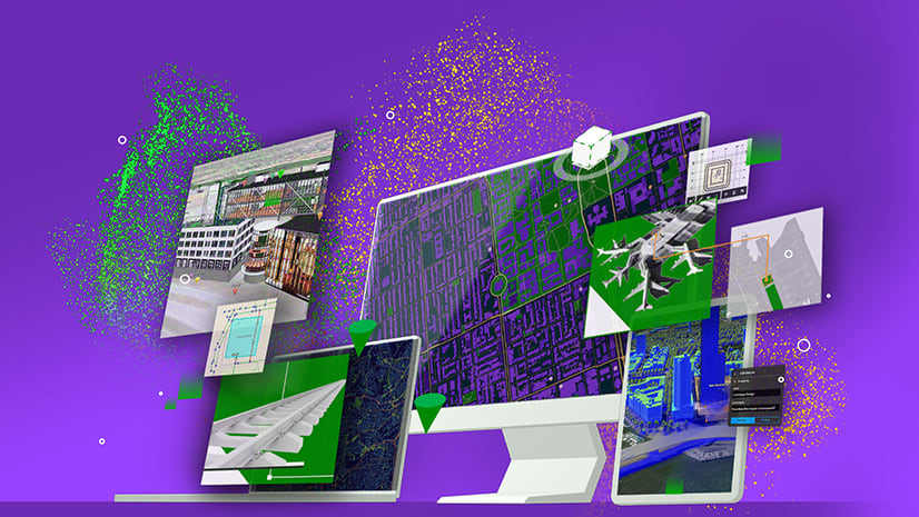
Gain a unified operational view with ArcGIS GeoBIM
Available for both ArcGIS Online and ArcGIS Enterprise, ArcGIS GeoBIM is an included app with user types—the primary way to license and securely access the capabilities of ArcGIS from anywhere on any device. User types offer expanded access to capabilities through apps and services at each role level, simplify license administration, and allow you to scale as the needs of your organization grow.
Connect your teams to asset documentation, 3D models, and project management issues on a map with ArcGIS GeoBIM.


Article Discussion: