For our latest blog entry, I wanted to hand the reins over to a friend and colleague of mine at Esri, Adam Carnow. Adam and I worked for 7 years together at the APA National Planning Conference conducting hands-on GIS workshops. He also has a planning background, and we’re often sharing stories we find about planners embracing technology to more effectively design their communities. Hope you enjoy this.
Keith Cooke, Planning and Community Development Industry Manager
As a planner and GIS practitioner, I am constantly monitoring the latest developments in both industries. This is key, as they are bound together by the importance of location. The continual advances in GIS and related technologies have created a huge opportunity for planners to innovate to reach their goals. This innovation should focus on incentives, rather than restrictions.
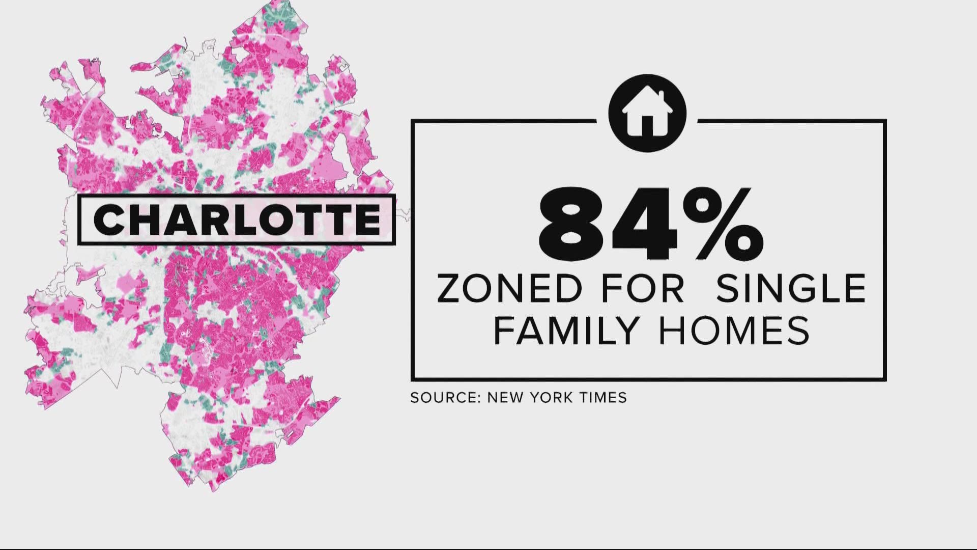
Examples of these restrictions are the numerous recent stories of how the elimination of single-family zoning can help cure the affordable housing problem, including in my hometown of Charlotte, NC.
This is an indicator that most planning techniques in practice utilize a restriction on the land development market, this is the “stick” referred to in the common metaphor for reward and punishment, “carrot or stick”.

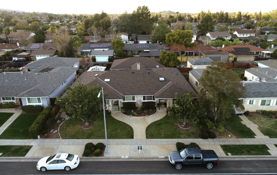
We all know that single-family residential development does not pay for itself, and that it is an unhealthy development pattern. However, you cannot control the economy/market. Most people want to live in single-family housing because they do not want to share a wall/floor/ceiling. Do you live in a single-family residence? If so, why? Do you want to live in multifamily housing and give up your car? Raising impact fees and forcing developers to build affordable housing is costly and often does not produce the results a community wants.
It is important to remember that the job of a planner is to encourage good development…economic development is at the core of planning…working with developers, not against them. To do this, focus on innovation and creating incentives (carrots). Your best efforts and encouragements may still end up being opposed to what the community wants.
Twenty years ago, I had the pleasure of working on an innovative twist on transfer of development rights, Rural Land Stewardship. This award-winning technique is collaborative and based on scientific data and market-driven economic incentive, “carrots”. It uses a scientifically-based GIS database that was agreed upon by all stakeholders (agencies, landowners, developers, conservationists). This creates a common truth/trust that fostered collaboration, rather than confrontation, as they say, “collaboration moves at the speed of trust”.
For landowners, it protects their property rights, and participation is voluntary. It turns property value upside down; the most ecologically valued land became the most valuable. This spurs privately-funded restoration. It requires compact development forms and privately funded conservation easements – these easements not only protected wildlife habitat but agriculture.
The results are significant:
• 55,751 acres of privately funded conservation easements
• Estimated savings on land acquisition cost: $200,000,000
• Private investment in infrastructure/facilities: $350,000,000
• Tax base added by the first New Town: $190,575,000
This is the type of planning that should be the norm, use the market forces to achieve goals, don’t try to work against them.
Certainly not all incentives are good ones, there are many examples of that.
Florida is joining other states in calling for a plan to end corporate incentives to recruit companies to relocate using taxpayer funds.
Economist Timothy Bartik explains why the public costs of tax incentives often outweigh the benefits, and describes a model business-incentive package.
But if we want to work with the market and economy, instead of against it, we must incentivize and collaborate to achieve the goals for all.
All planning issues are spatial, so if you want to create innovative planning techniques, start with GIS. Create a digital twin of the area of interest. Planners have been doing that with GIS since the 1960s. They called it a digital map, and the process has evolved into a framework called geodesign.
A quality digital twin that all stakeholders can agree on creates the environment for collaboration and minimizes confrontation. The tools that are available to planners today are amazing: from AR/VR/MR, AI/ML/DL, 3 and 4D, drones, reality capture, real-time data/analysis, IoT, GIS-BIM integration, data science/visualization, crowdsourcing, digital engagement, etc.
Practice the traditional planning process, set your goals and objectives, but when it comes to formulate the policies, innovate by engaging the GIS practitioners in your organization and work with them to innovate with the latest geospatial technologies to create incentives to get the market to work for you. This is how we can plan smarter.