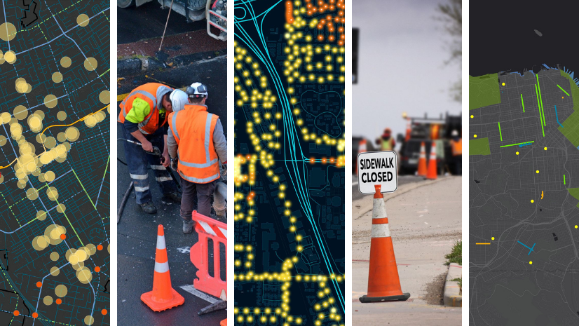
Real-Time Flood Inundation Mapping
I had the pleasure of participating in the 2022 Esri Gulf Coast User Conference November 9-10 in Houston, Texas. The plenary session included two amazing presentations. One was from University of Texas Center for Water and the Environment researchers Dr. David Maidment, Chief Harry Evans (former Austin, TX Fire Department Chief of Staff), and Christine Thies on real-time flood inundation mapping.

It started by reviewing the history of major flood events in the Houston area, including Tropical Storm Allison 2001, Hurricane Ike 2009, and Hurricane Harvey 2017. Many may remember Hurricane Harvey and the devastation it brought to the Houston area, but you may not know that it was the largest five-day storm rainfall ever recorded in the U.S. and totaled more than 14 trillion gallons.
Out of these events came the realization that more needed to be done to help prepare and respond to these events, and so the National Water Center was established in 2014 in Tuscaloosa, Alabama. This office is part of the NOAA Office of Water Prediction and partners with other federal agencies like the National Weather Service. The vision of this Office is, “…a Nation strengthened by equitable and actionable intelligence that informs water-related decisions, which enhances safety, resilience, security, and our economy.” This is critical work for agencies and staff charged with preparing and responding to these events, like the Public Works community.
The work of the National Water Center focuses on the National Water Model. This model provides water flow forecasts around the clock that include:
- Assimilation (current conditions)
- Short Range Forecast (18 hours ahead)
- Medium Range (10 days ahead)
- Long Range Forecast (30 days ahead)
Here’s what this looks like for an area of Texas:

Here’s what the Medium Range Forecast looks like in comparison with actual National Water Model for Hurricane Harvey:

This information is crucial when preparing for and responding to floods and is used by emergency operations centers at various levels of government to deliver amazing results such as reduced fatalities from these events. All of this is possible due to connected agencies sharing this data in real-time, which is one of the ultimate visions of enterprise GIS and the Geographic Approach. The goal is to have this real-time flood inundation mapping data across the U.S. within the next five years.

Another part of this effort of improving real-time flood response includes providing tools to first responders that allow them to provide information used to create and share real-time flood maps based on their on-scene observations. An ArcGIS-powered solution called, Pin2Flood, is the result. Pin2Flood is two apps, one for field responders, and one for emergency managers. Both apps simultaneously display the same data, resulting in a common operating picture with real-time flood impact maps. The field responder “drops a pin” at the edge of the flood waters, the app then uses GIS data and spatial analysis to delineate the boundary of the flooded area, along with identifying impacted address points and roadways.

Dr. Maidment also shared how they are working on modeling flood inundation in 3D to help identify whether bridges are flooded and impassable. This is a critical problem with traditional 2D LiDAR mapping of flood data.

This 2D/3D View of Flood Inundation shows how 3D modeling of bridges can correct the traditional problems with 2D LiDAR flood mapping
The goal of this work is to close the gap between National Flood Forecasting and Local Flood Emergency Response utilizing resources from multiple government agencies as part of the 3D Nation program. This is an example of how the Geographic Approach takes data, maps it to create information and knowledge that leads to understanding and the ability to share, collaborate, and make better decisions.
One thing about floods is that they happen everywhere, and with the growth in impacts of climate change, these events will continue to increase in frequency and intensity. To increase our resiliency, it is important that we continue to tap into the potential of GIS and the Geographic Approach to help the public and government agencies improve our situation in dealing with these disasters in the future.
For more information on how public works professionals can use GIS for emergency response, please visit: https://www.esri.com/en-us/industries/public-works/focus-areas/emergency-response