Create presentations called briefings from the ArcGIS StoryMaps builder and quickly consolidate critical information into shareable slides. Take your presentations with you and use the ArcGIS StoryMaps Briefings app to present dynamic maps and scenes to your stakeholders anywhere, anytime, even offline. Next time you need to present on the go, provide your audience with the meaningful context of your interactive maps with the Briefings app.
What’s New in the Briefings App
The ArcGIS StoryMaps Briefings app has been updated with major performance improvements to all the content types you can add to briefings. Access the latest enhancements in the app on an Android or iOS tablet or a Windows computer or tablet.
Open large briefings faster with optimized memory efficiency and performance
The overall performance of the Briefings app has been significantly improved. Enhancements can be seen when loading large briefings with multiple images, maps, scenes and swipe blocks. With improved memory management and efficiency, the crash rate has reduced by more than 70% when viewing multiple large briefings in the Briefings app in addition to loading briefings faster now.

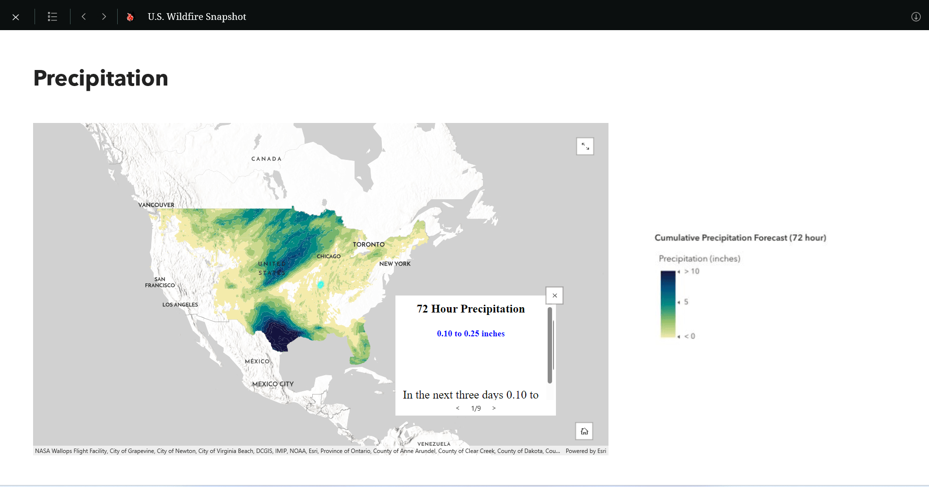
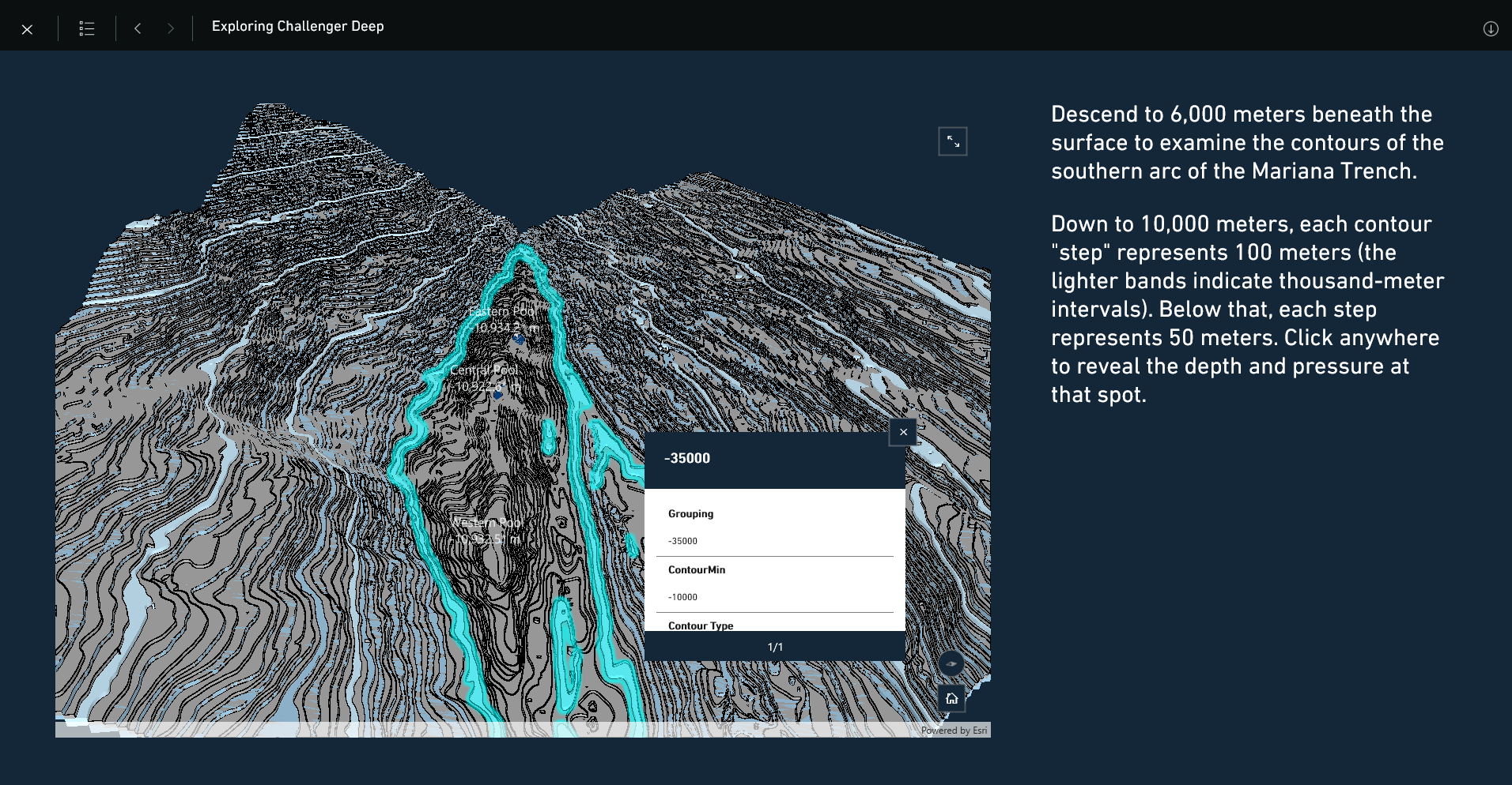
Support for map/scene pop-up information in slide view in addition to the expanded view
On popular demand, we have enhanced your mapping experience by enabling you to view pop-ups in slide view in addition to when you expand the view of the content. You can now select a feature in the slide view as well to display pop-up information in maps, scenes or swipe blocks in the Briefings app.


Autoplay briefings in the app
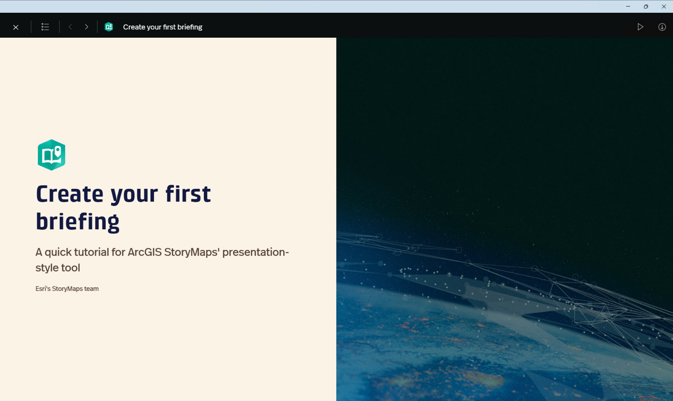
The Briefings app now supports Autoplay feature in the settings page. You can enable the Autoplay Mode (Beta) from the Briefings app settings page. Once you enable it, you will see a play button on the header inside a briefing and once played, the slides will automatically transition in 15 second intervals. Below is a step-by-step guide on how the Autoplay feature works in the Briefings app.
Step 1: Enable Autoplay Mode (Beta) from the app settings page.

Step 2: View a briefing, and you will find a play button in the header.

Step 3: On clicking on the play button, the Autoplay Mode starts.

Step 4: To pause, you can tap on the pause button or select another action such as opening the Table of Contents or expanding an image or a map.

Map Optimization tool deprecated from settings page
For briefings having maps and offline dependencies like Mobile Map Package (MMPK), you no longer need to manually optimize loading the live maps from the settings. To give you the best experience, we have deprecated the Map Optimization tool from the briefings’ app settings page, and you’ll find that your live maps automatically load when navigating to the particular slide. In previous versions like ver.1.3.5, you can find Map Optimization tool for iOS and Android, with Android having Map Optimization tool enabled by default.
Stay tuned for more!
We regularly release new enhancements and bug fixes to improve your experience with the ArcGIS StoryMaps Briefings app. To learn more about briefings, please review the following resources:
- Blog: Introducing the Briefings Tablet App: Access Your ArcGIS StoryMaps Briefings Anytime, Anywhere!
- Blog: ArcGIS StoryMaps Briefings Tablet App: Known Issues and What’s Coming
- Get updates directly in your inbox by subscribing to our newsletter.
We encourage you to try briefings and let us know your thoughts through the in-app feedback form or in the Esri Community.
Take your briefings offline with the ArcGIS StoryMaps Briefings app (ver. 1.4.6) available now for Android and iOS tablets and Windows computers and tablets.


Please note that the minimum system requirements are Android 8.0 (API level 26), iOS 14, and Windows 10.0.19041.0.


Article Discussion: