Featured trainingNew Course | Introduction to Indoor Mapping Using ArcGIS IndoorsLearn more about the course
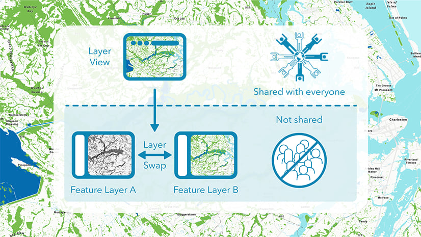
November 1, 2023 | Multiple Authors | Data Management Swapping Layers: A great way to build and maintain your feature layer
June 28, 2022 | Rich Nauman | Data Management Handling Rowdy Fonts: Four Tips for Better Layer Descriptions
June 15, 2021 | Rich Nauman | Mapping How to make that map: Combining ArcGIS Living Atlas Layers with Blending Modes
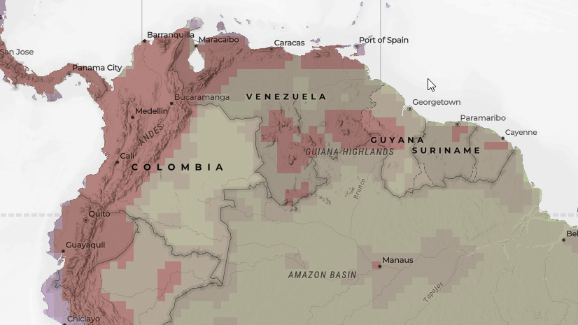
August 28, 2020 | Rich Nauman | Mapping Blending with Biodiversity Layers from the Half Earth Project
June 17, 2020 | Rich Nauman | Data Management Inverted Pyramids, Informational Hierarchies, and the Science of Where
January 13, 2020 | Rich Nauman | Mapping Pro or Online? Part 2: Publishing Hosted Feature Layers from ArcGIS Pro
January 6, 2020 | Rich Nauman | Mapping Pro or Online? Part 1: Publishing Hosted Feature Layers from ArcGIS Online
October 8, 2019 | Rich Nauman | Natural Resources Habitat Modeling with Layers from ArcGIS Living Atlas of the World