ArcGIS Enterprise 11.1, the second half of the Network Management 2023 release, is here!
This release builds upon capabilities and improvements introduced with the initial network management release to help organizations make important decisions with confidence. Over the past 8 months, we’ve been hard at work to provide the community with performance, stability, and functionality improvements in the 2023 Network Management release.
If you are a user who is planning to migrate to the ArcGIS Utility Network in 2023 or have already deployed the utility network using an earlier Network Management Release, skipping the first and jumping directly to this 2023 Network Management Release will help you maximize the benefit of migration with the latest tools and user experiences available in ArcGIS Enterprise and ArcGIS Pro. If your migration is already underway or complete, you are more than welcome to continue to utilize any Network Management Release as dictated by your goals and plans.
In this blog, we will continue the thread from the previous What’s New for ArcGIS Utility Network in ArcGIS Pro 3.1 announcement to highlight several enhancements in ArcGIS Enterprise 11.1 that improve the user experience working with the ArcGIS Utility Network across your enterprise.
We understand that many of our utility customers follow the network management release plan, which means that many of you may be upgrading directly from ArcGIS Pro 2.9 or Enterprise 10.9.1. Due to this, we’ve decided to include features from both the ArcGIS Enterprise 11.0 and ArcGIS Enterprise 11.1 release below. If you’ve recently read the blog outlining enhancements available with the utility network in ArcGIS Pro 3.1, then you may see some similarities with items covered previously.
For a full list of changes, review the What’s new topics for ArcGIS Enterprise below:
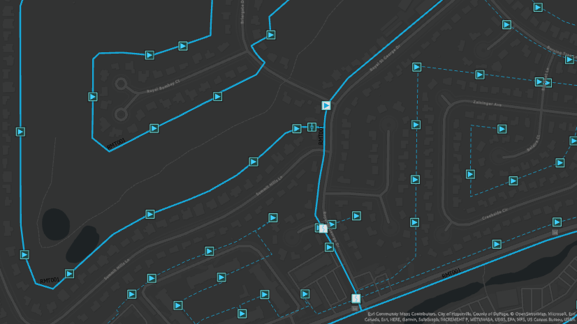
Tracing and Exporting Subnetworks
The status and accuracy of the data in your network is paramount. Data drives decisions, and a focus has been placed in Enterprise 11.1 to enhance the existing capabilities when exporting information about your utility network using both Trace and Export Subnetwork.
In ArcGIS Pro 2.9 and Enterprise 10.9.1, work was completed for trace to allow a user to export a json file from the trace results with elements and connectivity information. At ArcGIS Pro 3.1 and Enterprise 11.1, we’ve completed the story to create equivalence with Export Subnetwork when exporting data from a trace operation.
This new capability is especially important for gas and water users who do not manage the Is dirty (Status) attribute on their subnetworks because they can’t make use of export subnetwork. This new feature allows for the creation of json files from subnetwork traces that are identical to the those produced by the export subnetwork operation. What’s more, you can now also use Trace to export features that do not participate in a subnetwork!
When working with Enterprise, the introduction of two new capabilities, supportsTraceFeatureElementResults and supportsTraceAssociationResults enables two new Result Types options to export feature and containment and attachment association information for trace results to an output .json file.

In case you aren’t already familiar with what these result types do, the Features result type allows you to include additional information such as the feature geometry, network attribute information, and attribute values in the trace output for use with other applications. The Containment and attachment associations result type enables you to return the containment and attachment associations for the network features traversed by the trace.

Invalid subnetwork status
A new subnetwork status of “Invalid” has been introduced for the ‘Is Dirty’ attribute when updating a subnetwork to indicate that there are conditions present that prevent a subnetwork from being updated.
We have received consistent feedback from customers for the ability to differentiate between subnetworks that are dirty and need to be updated as opposed to a subnetwork that failed to update and remains dirty.
To address this, in ArcGIS Pro 3.1 and ArcGIS Enterprise 11.1 we have implemented a new ‘Invalid’ subnetwork status. Now, if an update subnetwork operation fails due to the discovery of a subnetwork error or dirty area when using a Utility Network Version 4 or later, we will mark the subnetwork as ‘Invalid’. From ArcGIS Pro, you will be able to immediately see which subnetworks are invalid in the Find Subnetworks pane through the display of a new red icon next to them in the grid.

The Update Subnetwork tool excludes invalid subnetworks from the list when you choose to update all subnetworks in a tier and prevents the subnetwork from populating the drop-down list when selecting subnetworks for update in the tool. Because invalid subnetworks are now ignored by the update subnetwork operation, the subnetwork must first be made dirty through editing and validation (hopefully correcting all the errors!) before the subnetwork can be updated again and marked as clean.
If you want to know where we store and reference this information, you can find it in the ‘Is Dirty’ field in both the Subnetworks table and Find Subnetworks pane. This field has been aliased to ‘Status’ in the pane to indicate it is no longer a binary value. This field is also aliased in the Subnetworks table for utility networks created with ArcGIS Pro 3.1 and later.

For those of you who have chosen not to manage the Is dirty attribute for a tier, the update subnetwork operation can also be used to delete rows from the Subnetworks table where the Is deleted attribute is set to true when working in the default version.
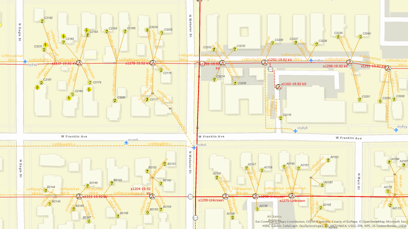
Create SubnetLine records for summaries and nonspatial objects
Starting with ArcGIS Pro 3.1 and ArcGIS Enterprise 11.1, a new record is created in the SubnetLine feature class for any subnetwork with summaries configured as part of the Subnetwork Trace Configuration.
We understand that there are scenarios in which you want to capture summary information about a particular subnetwork without having to manage the aggregated geometry of valid lines. With this update, a new a record is created in the class with empty geometry to display subnetwork and summary information even when the Aggregated Lines for SubnetLine feature class parameter is not specified as part of the subnetwork definition for the tier.
The following are just a few of the workflows supported by this new feature:
- Capture summary information on tiers with Subnetwork definitions without the Aggregated Lines for SubnetLine feature class parameter configured.
- Report information on subnetworks not containing any features specified in the Aggregated Lines for SubnetLine feature class parameter, such as subnetworks that contain only services.
- Capture summary information for subnetworks that contain only nonspatial objects.
- Address scenarios where multiple SubnetLine features may overlap, reducing the usefulness of the aggregated geometry.
Subtype group layers
Subtype group layers have always played an important role in the configuration and deployment of the utility network. While these were originally restricted to ArcGIS Pro and available only to desktop users; as of ArcGIS Enterprise 11.1 and the 2023 Network Management release, the use of subtype group layers it is now supported across the entire platform. Below you will find the list of when these capabilities were added:
- ArcGIS Enterprise Web Maps 10.9.1
- ArcGIS Runtime 100.9 (August 2020)
- ArcGIS Field Maps (June 2022)
- Maps SDK for JavaScript 4.25 (November 2022)
- ArcGIS Enterprise Map Viewer 11.1

Discover subnetworks made dirty through validate
Starting with ArcGIS Enterprise 11.1, the response from the validateNetworkTopology operation returns a new property (discoveredSubnetworks) which includes the name of any subnetwork that is marked as dirty during the validate operation along with its associated domain network and tier. This functionality is enabled through the introduction of the supportsValidationDiscoveredSubnetworks capability.
This can be helpful to report a targeted list of subnetworks for update or another quality assurance workflow. An exception to be aware of when working with this functionality is encountered when working with hierarchical networks in cases where all subnetworks in a tier are dirty. In this scenario, the tier is not traced during the validate operation and any dirty subnetworks in the tier are not returned in the collection of discovered subnetworks.

Utility Network Version 6 with ArcGIS Enterprise 11.0
A new utility network dataset version 6 was released with the prior ArcGIS Enterprise 11.0 release. This was done primarily to provide support for Network Diagrams and for compatibility with the associated ArcGIS Pro 3.0 major release.
Utility Network version 6 also set the ASSOCIATIONTYPE field on the Associations table as a subtype field to improve performance when displaying diagrams and editing associations. Upgrade is required only if you wish to take advantage of system provided network attributes exposed in the Trace, Add Trace Configuration, and Set Subnetwork Definition geoprocessing tools when accessed through a single-user deployment or database connection. A new supportsTraceSystemNetworkAttributes capability was introduced with ArcGIS Enterprise 11.0 which broadcasts the ability to use system-provided network attributes in the Trace and Add Trace Configuration tools when working with a utility network service. When present, this capability is supported for all utility network versions accessed through a service.
Please note that there is no requirement to upgrade your utility network to take advantage of the enhancements outlined above. Later versions of ArcGIS Pro and ArcGIS Enterprise can be used to view, edit, and share earlier versions of the utility network.
Network Management Release 2023
Certain ArcGIS Enterprise and ArcGIS Pro releases are designated as network management releases for customers who have implemented or are planning to implement network management products, including the ArcGIS Utility Network, in an enterprise environment. Our goal is to provide a stable platform on a long-term support release that will allow users to land on the versions that are best suited for utility network solutions with confidence and provide a predictable schedule for upgrade planning.
The ArcGIS Pro 3.1 and ArcGIS Enterprise 11.1 versions have been announced as the second designated network management release and are referred to as Network Management Release 2023.
To learn more, see What’s New with the Network Management Release Plan
Banner photo by Evgeniy Alyoshin


Commenting is not enabled for this article.