Skip to Content
A black background fades into a satellite image of a green coastal landscape

Image Analysis and AI

Transform imagery into intelligence with GeoAI and advanced image analysis.

Find the right solution
A satellite image of a river leading to a coastline with shades of green and yellow highlighting terrain data

Extract insights from imagery at scale

Turn earth observations into action

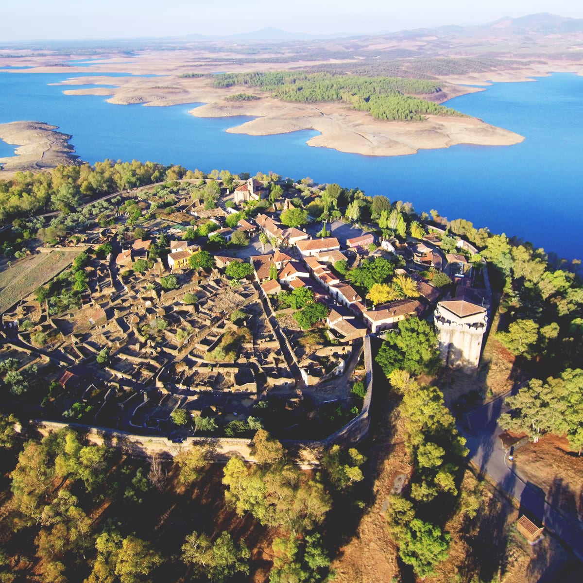
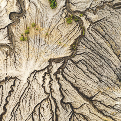
ArcGIS combines spatial analysis, image analysis, and artificial intelligence (AI) into one powerful system that handles massive datasets at local and global scales. Integrate imagery from street-level, drone, aircraft, and satellite sensors with spatial data in fundamental and advanced workflows—and generate fully informed insights that impact decisions.

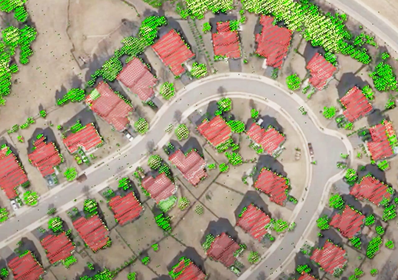
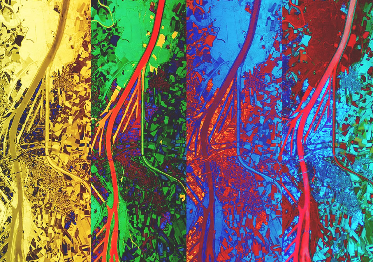
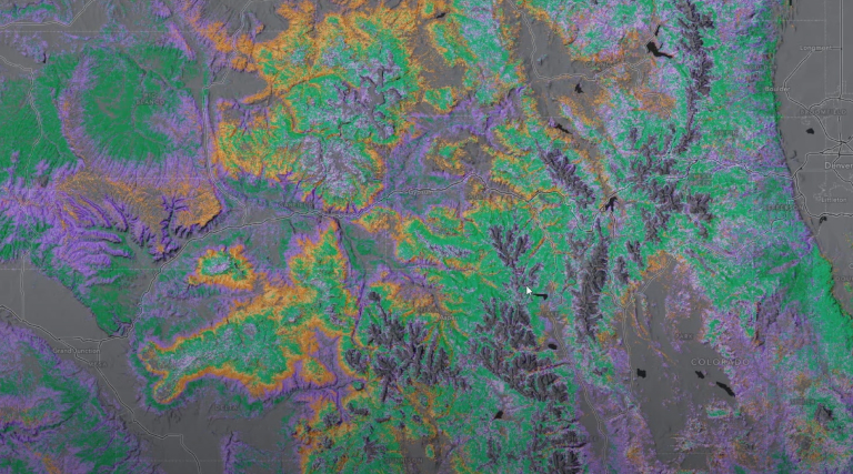
Get from imagery to insight faster

Start analyzing large volumes of imagery right away with cloud deployment options, on-the-fly processing, and ready-to-use models and algorithms.

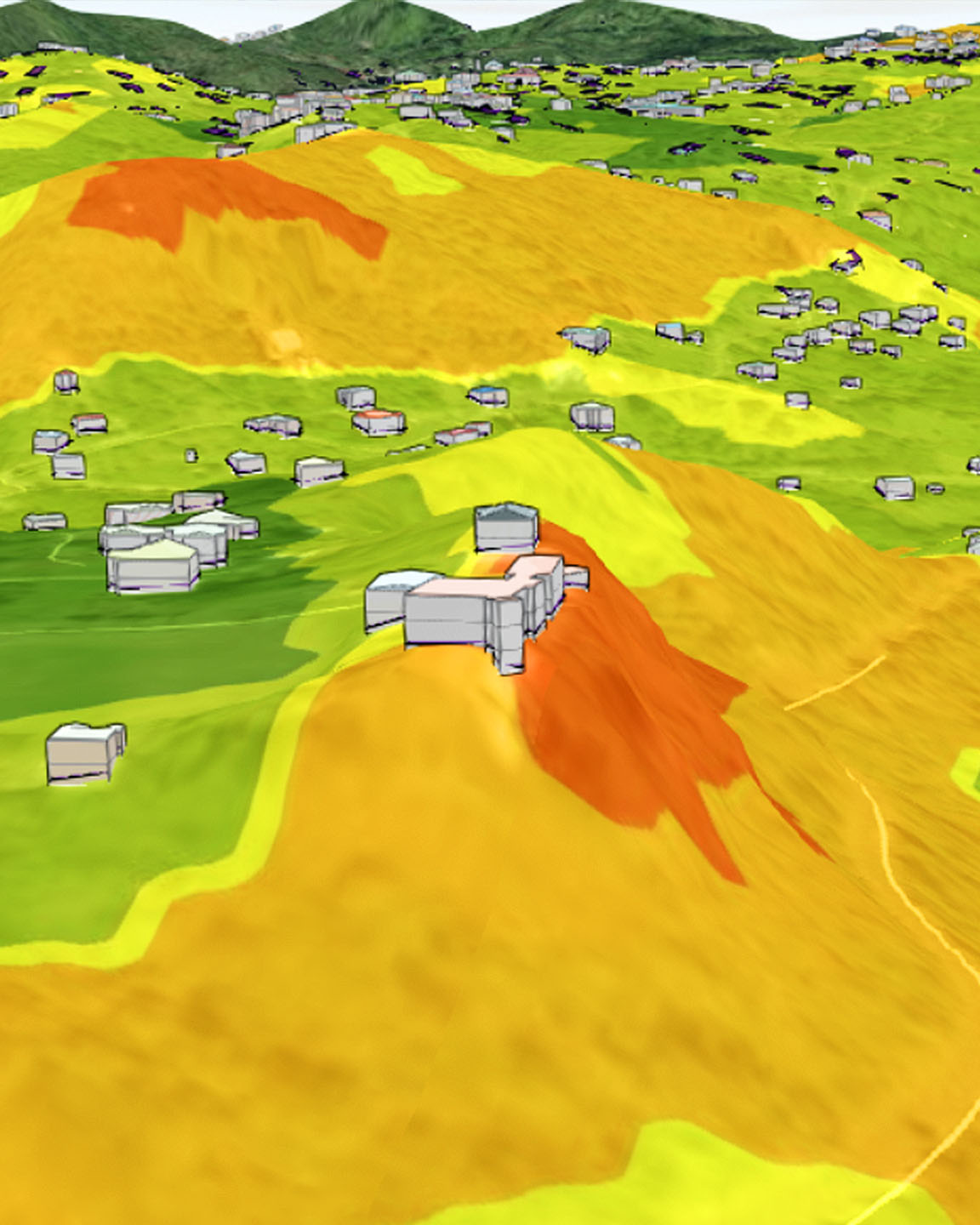
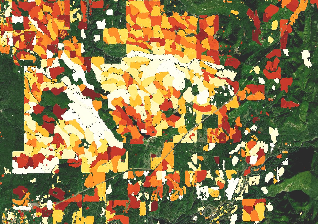
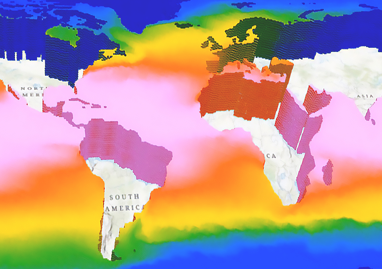
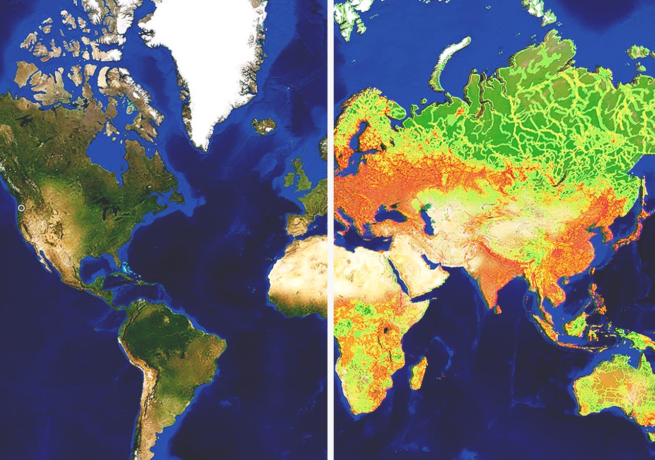
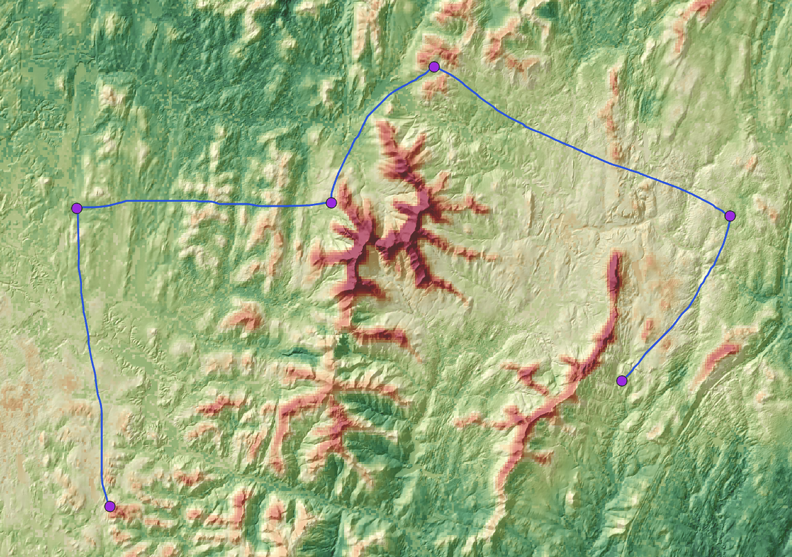
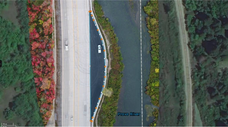
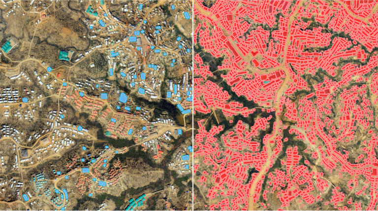
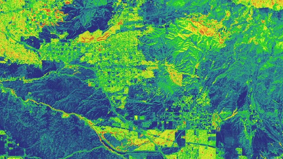
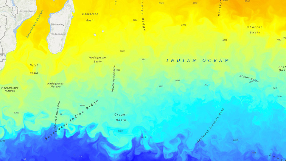
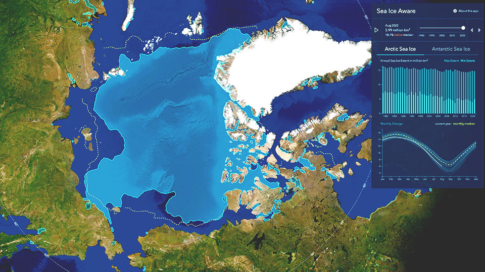
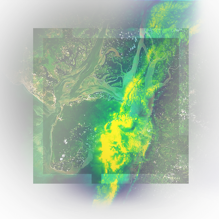
Run powerful analyses on all types of data

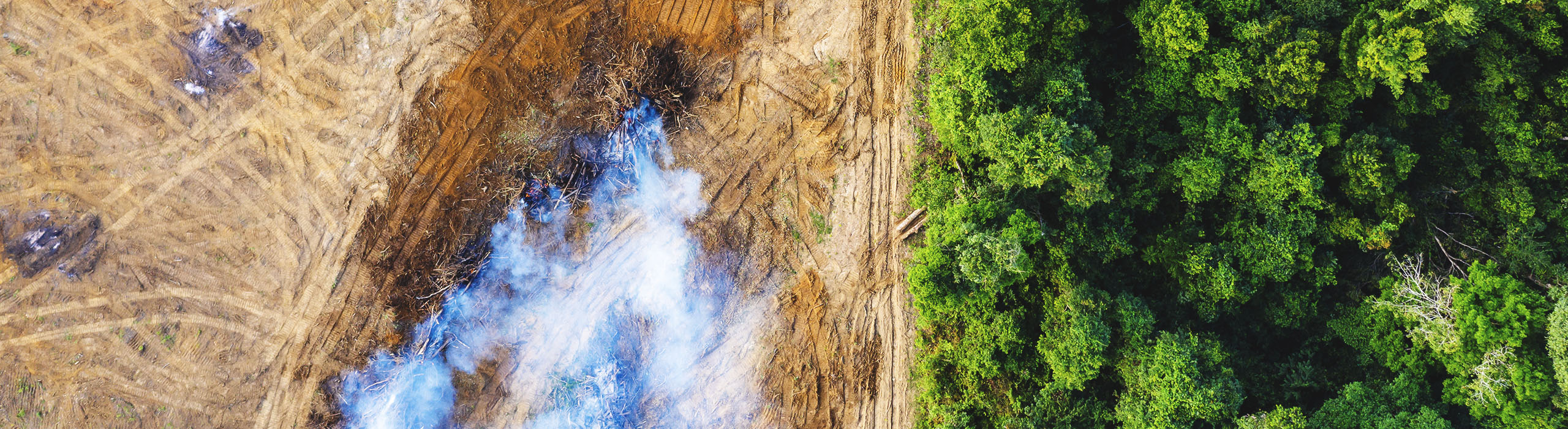
Combine imagery and remotely sensed data with other spatial information. Run analyses to reveal new patterns and illuminate a bigger picture.

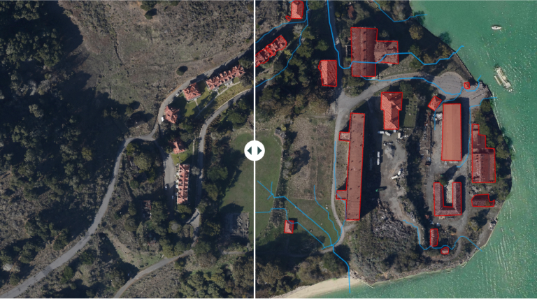
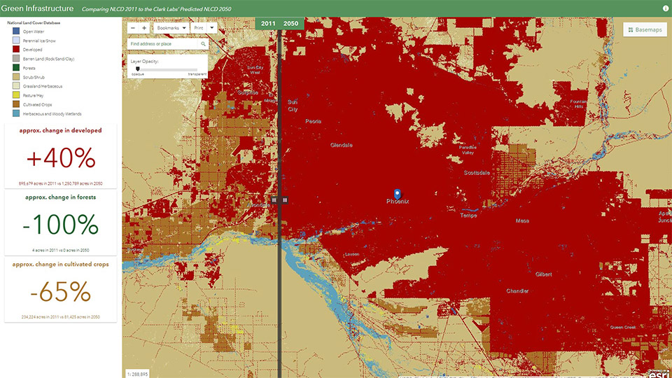
Extend the reach and impact of your work

You ran your analysis—what's next? ArcGIS includes tools to turn your complex data into approachable apps and visual stories for decision-makers.

An aerial drone image of the village of Granadilla in Caceres, Spain

Combine imagery with other data in new ways

Layer imagery and other content in one scene to reveal patterns and risks. Analyze more types of data to better understand where action is needed.

Your complete system for image analysis

Your complete system for image analysis

Get support when you need it most

Analyze imagery and raster data in a maintained enterprise system compatible with desktop, web, and mobile. Work with the knowledge that your data, workflows, and analyses are available at any time—even if you need to revisit your results months or years in the future. And, for assistance, our professional tech support team is ready to help.

A satellite image shows plots of land along a river with square and circular fields highlighted in blue, orange, and yellow

Strengthen insights using all relevant data

Integrate all forms of geospatial data into your analyses, including drone, aerial, and satellite imagery; vector data; and real-time data. Perform analysis on multiple complex datasets together, from local to global scales, for well-rounded results that account for more variables. And, as the ecosystem of available sensors evolves, have confidence that capabilities for analysis in ArcGIS will likewise evolve with your needs.

An image from Landsat shows changing morphology in a section of the Amazon River from 1984 to 2021.

Keep methods consistent

Build, iterate, and share your models and analyses in a visual workspace to replicate analyses consistently, with confidence. Build once, and share your tradecraft across the whole organization.

A point cloud with orange, green, and yellow points depicts bushes along a pathway in 3D.

Explore GUI- and scripting-based tools

In addition to APIs and Python notebooks, ArcGIS includes powerful web and desktop applications for a simplified no-code analysis experience. On-the-fly processing lets you preview the results of your analyses and make adjustments in real time, so you can test first, run once, and save results at full resolution for future action.

An aerial image of livestock in a field shows an AI model identifying animals with some highlighted pink and others in blue

Power analytics and insights at scale

Analyze large datasets faster in a stable, secure cloud environment such as ArcGIS Online, AWS, and Azure. Run complex analyses—including AI-driven object detection, feature extraction, and change detection—without limited compute resources slowing you down. Share your work with colleagues and collaborators around the world in a connected, on-demand system.

Extend when needed

Tap into the broad open science ecosystem to write your own code, extend and automate workflows, then transform your insights into services that seamlessly integrate with ArcGIS and third-party applications.

A satellite image shows plots of land along a river with square and circular fields highlighted in blue, orange, and yellow

What will image analysis in ArcGIS help you achieve?

Find answers in imagery faster with advanced image analysis at scale, including feature extraction using geospatial artificial intelligence (GeoAI), change detection, and time-series analysis. Perform analyses with data types like orthoimagery, motion imagery, lidar, and radar.

Turn raster data into meaningful insights with image analysis

Raster data provides insights beyond a simple basemap or a backdrop. Quickly understand any real-world landscape and identify relationships between features by examining every pixel in small or massive datasets. Below are a few examples of insights you can gather.

Applying image analysis in your industry

Analyzing imagery provides unprecedented insight into global conditions today—as well as what those conditions looked like in the past and what they could look like tomorrow. Decision-makers in all industries can benefit from a better understanding of how our world is changing.

Previous
Next
An aerial view of an abandoned quarry shows dry, dark brown water tracks through the light gray stone

Esri solutions for image analysis

Previous
Next

Need help finding the right solution?

Schedule a conversation with one of our experienced sales consultants. Tell us how you're using imagery and remote sensing data now, and we'll show you where a comprehensive geospatial system can take your work next.