I thought about it so you don’t have to. You’re welcome!
If you’re anything like me, the thought of New Year’s Resolutions can be exhausting. This year, our community of GIS Professionals ROCKED IT. You showed up to our Environmental SIG at the UC (one of the biggest crowds!), you ate up our webinar series, you told us great stories that we were able to then tell others. You did amazing things with the technology. You inspired me… and you inspired others in our industry. So I want to give you a gift. I thought a good gift might be a New Year’s Resolutions checklist to pick and choose from! Here’s my list for you and cheers to 2023!
Promote Yourself
If an environmental professional makes a map, and no one is around to see it, does it make an impact? Ah, the good ole conundrum of a tree falling in the woods…
Some folks’ resolutions revolve around going after that promotion, advocating for that raise, or just putting yourself out there more. Well, that means you need to promote yourself and the value your GIS brings to your organization. Here are a few ideas for getting started:
– Use an ArcGIS StoryMap for your year-in-review reports
For the past two years, the Tennessee Division of Natural Areas has used an ArcGIS StoryMap to summarize their year in review. They’re not the only ones! I see this often and many times these stories lead to “… and then our commissioner asked us if we could make one for the whole Department.” Advocating for your work with the very same GIS tools you use daily can go a long way to helping others understand and imagine how they can also find value in these tools and lead to greater understanding and expansion of GIS across your organization.
– Submit One (or more!) of your GIS workflows to our GIS Success Story Submission Portal
Did you even know we had a user success story submission portal? We do! And we want to hear from you. Are you using ArcGIS Field Maps to transform former paper data sheets? Did you stand up your first ArcGIS Hub in 2022? What about that awesome ArcGIS Dashboard you created or ArcGIS Experience Builder for something a little more complex? By submitting your story to our story portal, you give yourself an opportunity to shine. It often results in an Esri Blog or a placement in ArcNews or the Environment and Natural Resources eBrief! Placements like that look great on resumes and it never hurts to brag a little about your great work!
– Present at a conference (or two or three)
Consider sharing your work within your industry. Almost every professional conference I go to, people come up to me and tell me how they are applying GIS to solve their challenges, but why just tell me? Consider sharing that story as a presentation! The chances are your peers have run up against similar challenges and would really love to hear how you solved their problem already. Sharing is caring! Make sure you check our Environment Industry Page for updates on which conferences we’ll be attending this year.
– Engage with Your Leadership
Chances are your organization is planning for or finished planning for 2023. Ask your executive leadership about major goals and challenges for 2023 and align your GIS strategies to respond directly to those challenges. This will tie into the “Organize” section below.
– Start an environment and conservation GIS meetup
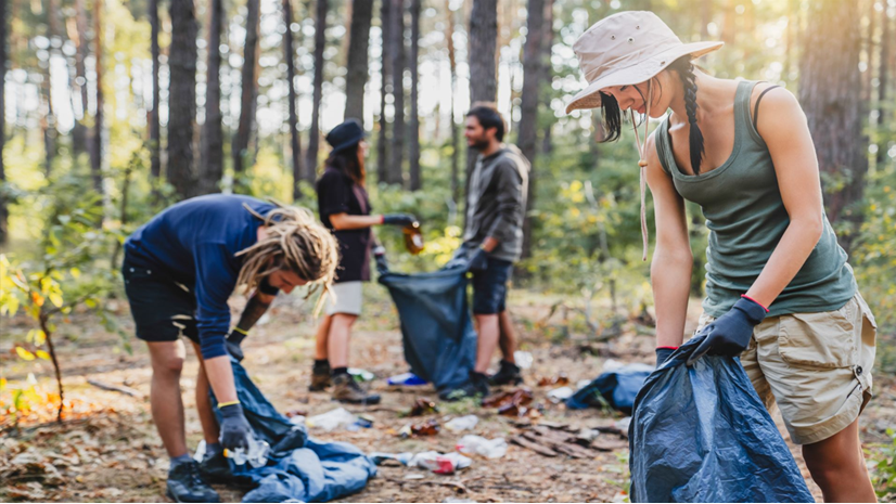
This year, I had a quick trip to Asheville and reached out to a couple contacts there with a wild idea: let’s throw a conservation meetup! People are hungry to see each other face to face again. It’s fun to talk shop and learn from one another in an informal environment. Nearly 30 people to showed up! These kinds of events help you and others network, yes, but also share ideas and tips and tricks for how you use the software to solve challenges. You never know what kinds of opportunities will grow from these kinds of meetups! You can use our new LinkedIn Esri Environment Group to promote your meetup!
Grow Your Skills
What’s the GIS equivalent of going to the gym? Well, it’s a lot more fun perhaps, and I’m thinking of training! Learn a new skill or get acquainted with a new product – whatever you’re looking to learn, there’s something for you in Esri’s Learn Catalogue. Maybe you’re more into video tutorials? We’ve got that too! Here are some resources I’ve picked that environmental professionals might like to explore:
– Dive deeper into the technology
5 New Things to Try in ArcGIS Field Maps is a fun blog that gets continually updated and has some fun tips and tricks and new capabilities to try out, along with links to other resources! Similarly, make sure you check out the resources page for ArcGIS Survey123 for tutorials and other items!
– Explore other products
Maybe you’re looking to improve internal business processes? Learning about ArcGIS Workflow Manager might be right up your alley, then. Permitting processes? Environmental reviews with multiple steps? Project tracking? Learn all about it how to apply that geospatial advantage to these workflows and more!
Wildlife collars, environmental sensors, vehicle tracking and staff safety… if you’re tired of downloading .csv’s and massaging this information into something useful before you can even begin your analysis or share your results, then ArcGIS Velocity can help you out. Get an introduction here.
– Join the Esri Community!
This site is a fantastic way to pose questions, search for those niche solutions and otherwise collaborate with fellow users and Esri staff! This is an invaluable resource and a great way to engage and learn!
– Be the first to know
We have an e-newsletter where we send users the latest and greatest stories, product news and other fun tidbits for our environmental industry. Make sure you’re signed up and always be the first to know! Open the “Stay Updated” tab on the industry page here to sign up.
Organize Your GIS
Maybe “getting organized” is your flavor of resolution. If so, what might that look like for the environmental GIS professional? Well, it comes in the form of developing a “geospatial strategy.” Developing a geospatial strategy allows you to think through all the ways in which your organization can apply GIS technology, identify the needs across your people, processes, and technology, and then build a roadmap to get from point A to point B. So how do you get started?
One of the most detailed technical papers really lays the whole process out, but this can be a bit much to digest on your own. So, we have a handy ArcGIS Hub that walks you through it, provides templates and documents and all sorts of materials to get you started.
Like all resolutions though, we really need support from our community to follow through. That’s why I encourage you to reach out to your account manager about helping you with a geospatial strategy. This is exactly what I did when I worked for the State of Tennessee, and it was so helpful to have the experience of Esri support me and help me through the process! Your geospatial strategy can revolutionize how GIS is applied and viewed across your industry. If you’re like me, I was full of “good ideas” and would brainstorm constantly about how GIS could be applied, but until we organized it into a comprehensive strategy, I wasn’t able to gain buy-in from my leadership. The geospatial strategy alleviated that and transformed how I was able to communicate across my organization. Happy New Year!
I can’t wait to see what you achieve in 2023.