ArcGIS is the secure and scalable platform for land administration, including in developing countries. The Land Administration Modernization Program (LAMP) has, for several years, enabled qualified land administration agencies to leverage ArcGIS technology for the transformation of their cadastre and land administration operations. Not surprisingly, the LAMP has quickly become very popular, with 18 countries and 25 agencies having adopted the program.

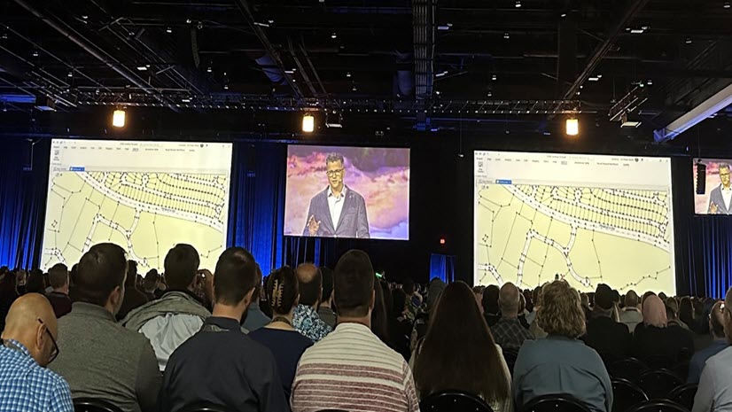
As land agencies in developing markets look to modernize all aspects of their daily operations, we know that collecting information in the field is a foundational element and requirement. While this functionality is fully covered by ArcGIS Field Maps, which is included in LAMP, agencies may not have a complete high-accuracy field data collection solution available to them currently.
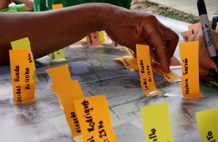
This is why Esri is pleased to announce a partnership with Trimble that makes available the Trimble Catalyst High Accuracy GNSS Bundle for the Esri Land Administration Modernization Program. The solution provides LAMP participants with an easy-to-use, affordable GNSS positioning solution that integrates seamlessly with ArcGIS Field Maps. Trimble Catalyst is a system of GNSS hardware and GNSS correction service that is operational worldwide, designed specifically for the needs of agencies that have adopted LAMP. It provides the necessary tools and equipment to capture high-accuracy data in the field, in any of the countries that are eligible for LAMP globally. This Trimble offering, when coupled with LAMP, provides any land agency in developing markets with a complete field-to-office workflow. This includes Fit-for-Purpose workflows which have widely become the standard for resource-constrained countries where traditional surveying methods are not practical.
According to Markus Koper, Land Administration Specialist at Trimble, “The Trimble Catalyst DA2 GNSS bundle provides Esri LAMP participants access to a high-quality GNSS solution, to collect and maintain accurate land information. Land information and tenure security are highly important, for the countries, but also for the people.”
To learn more about this Trimble offering for LAMP, click here. Note – your agency must have adopted LAMP to be eligible. The list of countries eligible for LAMP can be found here.