Margaret Crawford
Connect:

Margaret is a Product Engineer on the ArcGIS Pro Geoprocessing Team. Her passion for GIS began with her interest in human-environmental relationships, and her graduate studies utilized spatial analysis to study the current and growing impact of flood-induced disasters due to sea level rise. Margaret leverages her foundation in research methodologies and spatial analysis techniques in her role at Esri, where she creates written content and demonstrations on technical concepts and functions in ArcGIS Pro in an engaging, user-friendly language. She also contributes to refining and redesigning software functions and tools to ensure optimal user experience in ArcGIS Pro's geoprocessing suite of tools. In her personal life, Margaret is a loving cat parent to three cats, and enjoys swimming and snowboarding.

Posts by this author
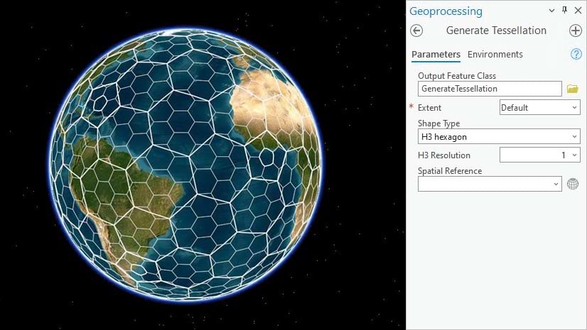
Use H3 to create multiresolution hexagon grids in ArcGIS Pro 3.1

The Generate Tessellation tool now includes H3 Hexagons, a hexagonal hierarchical spatial indexing system.

Continue Reading

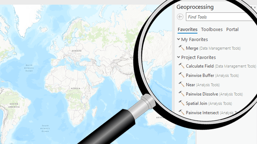
Boost your Geoprocessing productivity with these enhancements in ArcGIS Pro 3.1

Check out this blog for a quick overview of some key geoprocessing enhancements in ArcGIS Pro 3.1.

Continue Reading

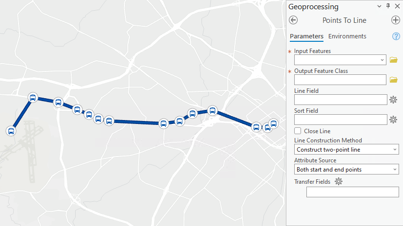
In ArcGIS Pro 3.1, the Points To Line tool has more options for you!

In ArcGIS Pro 3.1, the Points to Line tool includes three new parameters to specify how to construct lines and transfer attributes.

Continue Reading

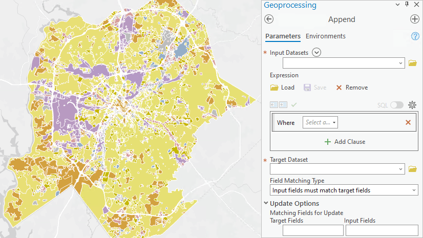
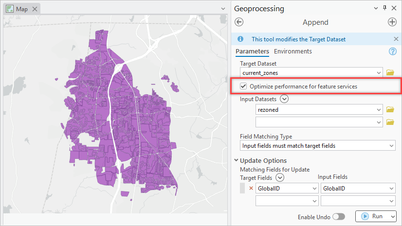
Upsert your datasets using the Append tool in ArcGIS Pro 3.1

In ArcGIS Pro 3.1, you can use the Append tool to upsert (update and insert) a target dataset with data from a new or updated dataset.

Continue Reading

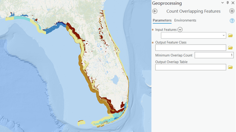
Create a biodiversity map using Count Overlapping Features in ArcGIS Pro

Use the Count Overlapping Features tool to find the number of overlapping habitat and ecosystem polygons to create a biodiversity map.

Continue Reading

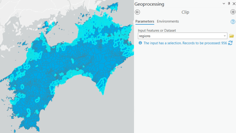
Geoprocessing Selection and Filter Tip in ArcGIS Pro 3.0

Geoprocessing tools in ArcGIS Pro 3.0 now display an information tip that will let you know when your input layer has a selection or filter.

Continue Reading

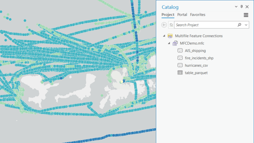
Connecting Multiple Datasets is Easier Than Ever with Multifile Feature Connections in ArcGIS Pro 3.0!

ArcGIS Pro 3.0 includes the new and improved Multifile Feature Connection (MFC).

Continue Reading