Skip to Content

Science News and Publications

The latest collaborative science books, articles, and scientific papers

Science is the basis for fighting climate change together. Esri is committed to providing resources to help create a sustainable future.

Access climate change overview
Gis For Science map for saving the planet volume 3

GIS for Science

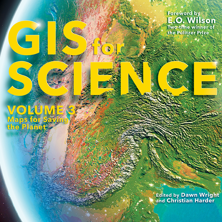
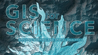
Now in its third and final volume, “GIS for Science: Maps for Saving the Planet,” is a book about how geospatial science is a force multiplier for great science.

Learn more about this book
Read the technology showcase
A teal, blue, and purple graphic with a white and blue 3D image of a volcanic-like structure with dots and spherical lines coming out of and surrounding it

Scientific currents

Stay informed on the latest science issues and initiatives on the radar of the Esri chief scientist and science team in this new column, available in each issue of ArcNews.

Explore the articles

In the news

  • Dawn Wright wearing a chambray button up shirt and smiling in front of a background with foliage in soft focus

    Stories featuring Esri chief scientist Dawn Wright

    Esri Blog

    Read the latest stories featuring Esri chief scientist Dr. Dawn Wright and learn about Esri’s science initiatives, projects, and case studies.
  • A detailed aerial satellite image of a forested coastal region

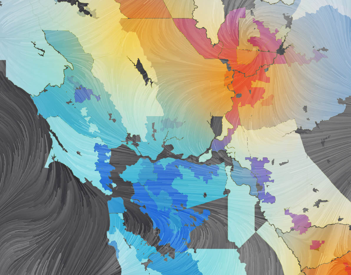
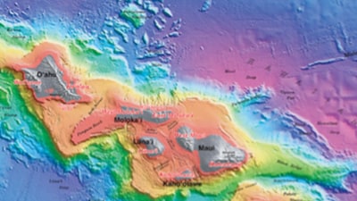
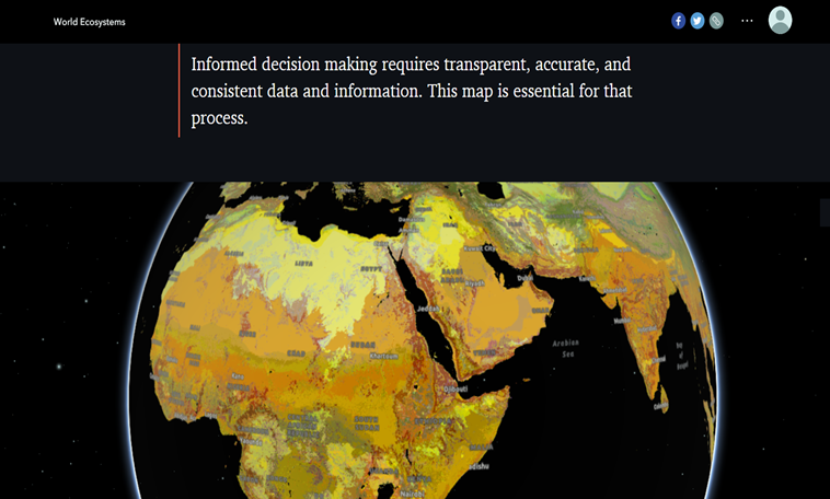
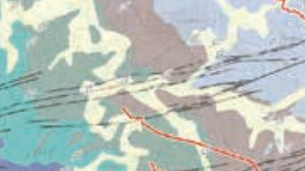
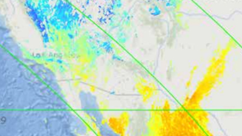
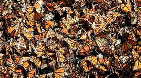
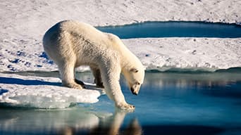
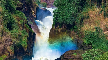
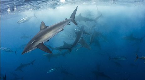
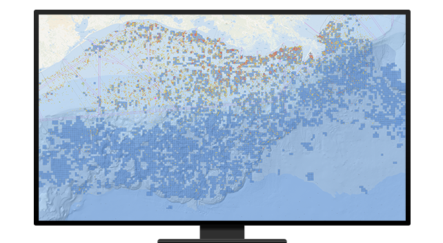
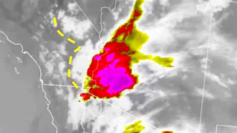
    Mapping the world in unprecedented detail

    Medium

    The Impact Observatory shares a 2020 land use and land cover map of Earth, developed with Esri and in partnership with Microsoft AI for Earth.
  • A large crowd of people gathered in the street

    Esri’s Dr. Este Geraghty receives health IT award

    Esri Announcement

    Dr. Este Geraghty is a recipient of the Most Influential Women in Health IT Award from the Healthcare Information and Management Systems Society.
  • A blue map overlaid with a white square

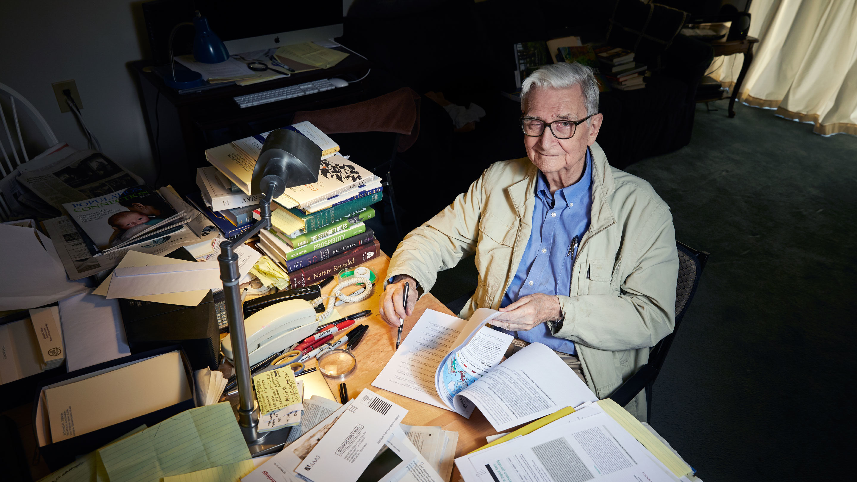
    Dr. Wright elected to National Academy of Sciences

    Esri Announcement

    Dr. Dawn Wright is being honored by the US National Academy of Sciences for her distinguished and continuing achievements in original research.
  • NOAA scientists' keynote at Ozri 2020

    Esri Australia

    The United States National Oceanic and Atmospheric Administration (NOAA) shares how to use ArcGIS to protect and power the blue economy.
  • Photograph of a heron on a lake

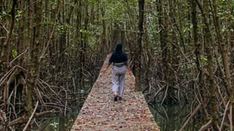
    Esri stands together with nature

    Together with Nature

    Esri supports the four Together with Nature Principles to responsibly tackle the climate crisis and restore planetary biodiversity.
  • Esri Chief Scientist in Australia

    Esri Australia

    Referred to as Deep Sea Dawn, Dr. Dawn Wright's contribution to the global scientific community has spanned more than three decades.
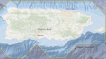
  • Power of Shared Information for the Pacific Ocean

    Esri Blog

    The United Nations Economic & Social Commission for Asia and the Pacific (ESCAP) partnered with Esri to develop a Pacific Ocean Accounting Portal
  • Australian State Automated Land Classification

    Mapping and assessing land-use patterns and changes throughout Queensland used to be a very time-consuming, resource-heavy process.
  • Black and red dashboard map

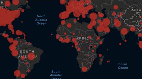
    Discover What Powers Coronavirus Dashboards

    Bloomberg

    Esri’s ArcGIS was designed to be used in operation centers with lots of big screens, but most of us are loading it on our mobile phones.
  • White and red dashboard map of the globe

    The 1st Algorithm to Detect COVID-19

    CBS 60 Minutes

    Canada was among the first to ring the alarm on an infectious disease outbreak which can potentially change the way we fight a future contagion.
  • Image of a topographical map

    A “Planetary Computer” to Protect Biodiversity

    GreenBiz

    The Planetary Computer will provide sophisticated AI tools powered by Microsoft, as well as the geospatial expertise of Esri.
  • Photograph of a lake in the mountains

    A commitment to biodiversity

    Microsoft

    Microsoft pledges to work toward global biodiversity goals and is partnering with Esri on its AI for Earth program and new Planetary Computer.
  • Photograph of a computer displaying the Johns Hopkins COVID-19 dashboard

    World's most popular coronavirus tracker

    Science Magazine

    Look inside the effort to produce the Johns Hopkins COVID-19 dashboard.
  • Colorful map of the world's oceans

    Marie Tharp: A generational inspiration

    European Geosciences Union

    July 30, 2020, marked the centennial birthday of Marie Tharp, the woman responsible for creating the first map of our planet's ocean floors.
  • Earth Surveillance Tech Changes Everything

    VICE News

    New high-resolution satellites, artificial intelligence, and data are letting us study earth—and ourselves—in greater detail than ever.
  • COVID-19: World Connectivity Saves Lives

    Esri Blog

    The health and human sciences community has expanded its use of maps to communicate and understand the spread of disease.
  • Uncovering the Hidden World of Sinkholes

    Esri Blog

    Lidar and GIS are helping to identify once-hidden sinkholes and similar geologic features that threaten disaster.
  • Ocean Scientists Study the Depths Through Sound

    Esri Blog

    Contrary to its reputation as a peaceful, meditative realm, the undersea world is a nonstop sonic party. Oceanographers call it the marine sounds
  • How Artificial Intelligence, Robots Enhance Forest

    Esri Blog

    Finland’s forests cover three-quarters of the country’s landscape, and monitoring the maintenance of this vast space falls on the Finnish Forest.
  • A 3D topographic map in a gradient of green, yellow, and red

    XPRIZE Ocean Initiative advances seafloor mapping

    Esri Blog

    For thousands of years, mystery has swirled around the question of what dwells deep beneath the seas that cover 71 percent of our planet. Sailors
  • Expanding Horizons

    Meteorological Technology International

    Mapping and spatial analytics software specialist Esri empowers the meteorological sector through location intelligence.
  • Global Citizen Science

    Esri Blog

    As the fiftieth anniversary of Earth Day—April 22, 2020—draws near, the challenges are enormous.
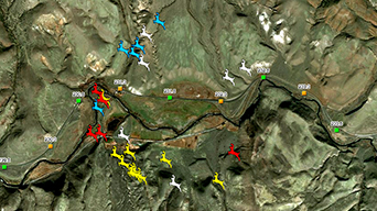
  • Maps and Tech that Protect Wildlife Migration

    Esri Blog

    The Governor of Colorado just signed an executive order aimed at protecting wildlife as animals move throughout the state.
  • Tracking Tree Planting in Burkina Faso

    Esri Blog

    Burkina Faso, a sub-Saharan country in Africa, is one of the poorest and most vulnerable to climate change.
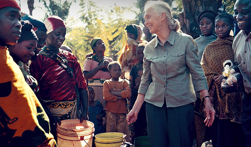
  • Dr. Jane Goodall: Patient Observation Lets You See

    Esri Blog

    Dr. Jane Goodall’s study of chimpanzees in Tanzania began in July 1960 at the behest of Dr. Louis Leakey, the renowned paleoanthropologist.
  • Micro Lens Reveals Macro Understanding

    Esri Blog

    E. O. Wilson’s study of ants began when he was a small boy. He went on regular expeditions, closely observing the makeup and behavior of ants.
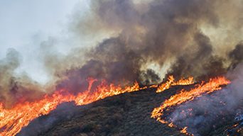
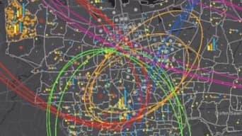
  • The Race to Build Megafire Prediction Tools

    Bloomberg

    To begin planning for "megafires," California is using data and technology to predict when and where the next fire will strike.
  • 'Like a Terror Movie'

    The New York Times

    Learn how climate change will cause more simultaneous disasters and how the impacts are only going to get worse. View an interactive hazard map.
  • Maps that track fire and smoke in real time

    Fast Company

    These California wildfire maps help people track the progression of fires and stay up to date on forecasts ahead of possible evacuations.
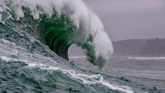
  • Deoxygenation of the Ocean Affects Everyone

    ArcNews

    Unprecedented pressures are affecting the ecosystem within our oceans. All life on Earth depends on these ecosystems to survive.
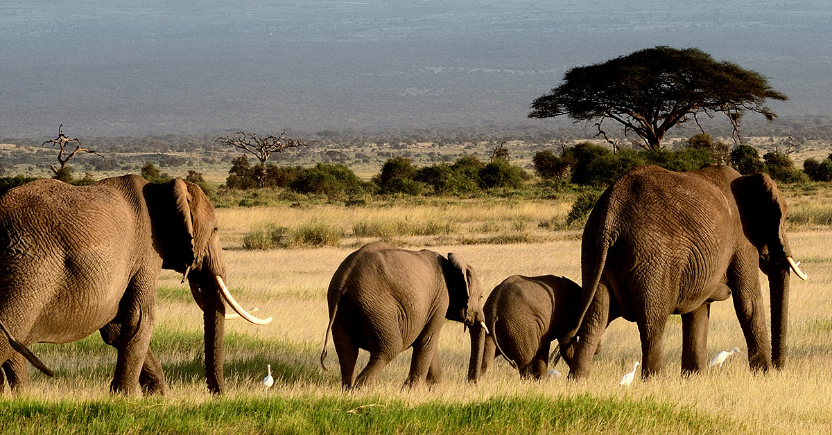
  • Defending Elephants in Africa

    Esri Blog

    Garamba National Park in the Democratic Republic of the Congo sits at the center of a zone of human conflict that spans decades.
  • First Truly 3D Map of World's Oceans

    ArcNews

    Esri and the US Geological Survey (USGS) have released a 3D ocean map.
Previous
Next

Esri Press

  • The cover of the GIS for Science book featuring a satellite image of Earth

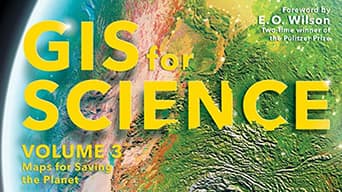
    GIS for Science, Volume 3

    Science Communication

  • The cover of the Women and GIS book with blue and red text

    Women and GIS, Volume 3

    Science Communication

  • Orange and blue cover of the second volume of GIS for Science by Dawn Wright and Christian Harder

    GIS for Science, Volume 2

    Science Communication

  • Blue and purple images that say, advanced python scripting

    Advanced Python Scripting for ArcGIS Pro

    GIScience

  • Blue abstract image

    Getting to Know Web GIS, 4th Edition

    GIScience

  • Colorful abstract image

    Esri Guide to GIS Analysis, 2nd Edition

    GIScience

  • Colorful geodesign

    International Geodesign Collaboration

    Geodesign

  • Purple book cover of the second volume of the book Women and GIS

    Women and GIS, Volume 2: Stars of Spatial Science

    Science Communication

  • Smarter Government

    Social Science

  • GIS for Science

    Science Communication

  • GIS and the 2020 Census

    Social Science

  • Women and GIS: Mapping Their Stories

    Science Communication

  • Intro to Human Geography Using ArcGIS Online

    Social Science

  • Cartography.

    GIScience

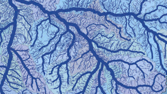
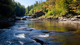
  • GIS for Surface Water

    Solid Earth Science

  • Extracting Information from Imagery

    GIScience

  • Map Use: Reading, Analysis, Interpretation

    GIScience

  • Ocean Solutions, Earth Solutions

    Ocean Science

  • GIS Research Methods

    Social Science

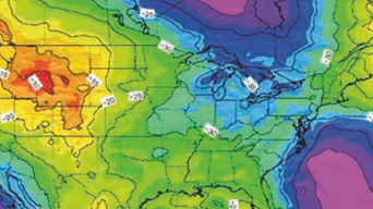
  • Mapping and Modeling Weather and Climate

    Weather and Climate

  • Abstract Machine

    Digital Humanities

  • The GIS Guide to Public Domain Data

    GIScience

  • Designing Better Maps

    GIScience

Previous
Next

Blogs and podcasts

  • Victoria Phillips wearing a black, sleeveless blouse and smiling in front of a white background
    Esri blog

    Science industry stories by Victoria Phillips

    Industry Blogs

    Explore the latest blog posts about the sciences and learn how Esri is supporting the scientific community.
  • A cluster of monarch butterflies
    Podcast

    The science behind the Half-Earth Project

    Conservation

  • An overhead view of ocean waves
    Podcast

    Kathy Sullivan interviews Dawn Wright

    Ocean Science

  • A forest with a brown sign that reads, “SLOW Endangered Species Habitat”
    Esri Blog

    Science and mapping to safeguard species

    Conservation

  • A group of observers on the beach, looking out into the ocean
    ESRI BLOG

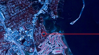
    27,000 barrels of DDT found off California coast

    Ocean Conservation

  • A gridded map showing varying depths and heights of land features
    ESRI BLOG

    Scientists discuss the Call for Code challenge

    Climate Change

  • A hillside in Peru covered in small yellow flowers with a fog covered city in the background
    ESRI BLOG

    Maps help preserve unique fog ecosystems in Peru

    Conservation

  • A polar bear in the Arctic surrounded by melting ice
    ESRI BLOG

    Global leaders use GIS to address climate crisis

    Conservation

  • A river stream with a rocky, tree-lined shore
    Esri & the Science of Where Podcast

    Supporting Water Justice for Indigenous People

    Equity and Social Justice

  • A blue map of a city with roads marked in white
    Esri & the Science of Where Podcast

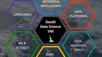
    Data Science and the Rise of Geospatial Thinking

    Data Science

  • An aerial view of Oakland, California
    Esri & The Science of Where Podcast

    How technology can accelerate social justice

    Racial Equity

  • A green field with four large wind turbines in the background
    Esri & The Science of Where Podcast

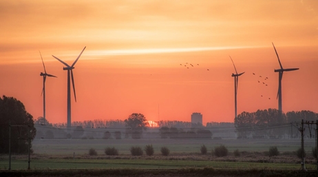
    Sustainability through transformative technology

    Sustainability

  • A view of a bridge on the coast at night, illuminated by streak lights from cars, and under a starry blue and purple sky
    Esri & The Science of Where Podcast

    Saving our planet through scientific exploration

    Climate Science

  • A view of a tall city building, a streetlight, and a traffic light with a dark orange sky in the background
    Esri & The Science of Where Podcast

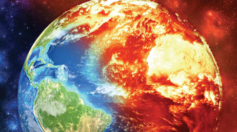
    Climate Change is Here and Now

    Climate Science

  • A waterfall surrounded by green, mossy rocks with a rainbow visible in the foreground
    Esri & The Science of Where Podcast

    Geospatial thinking to address global challenges

    Community Development

  • Topographic digital render of planet Earth's various surfaces
    Esri Blog

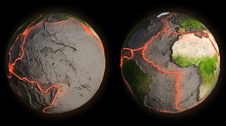
    Science and technology in Earth's shifting surface

    Geology

  • Photograph of a burning art piece at the Burning Man festival
    Esri Blog

    Microclimate research and modeling at Burning Man

    Climate Science

  • Underwater photograph of a deep-sea diver filming a school of fish
    ArcGIS Blog

    Mission Blue inspires action to protect the ocean

    Ocean Conservation

  • Photo of Jeffrey Sachs at a speaking engagement
    WhereNext Magazine

    Sustainable Business: A Conversation with Jeffrey

    Sustainability

  • Blue graphic of a DNA strand
    WhereNext Magazine

    A Breakthrough Way to Map DNA?

    Genetics

  • Photograph of young students gathered in a circle playing card games
    Esri Blog

    Students map LA areas in need of shade equity

    Equity and Social Justice

  • Animated image of a video game character
    ArcWatch

    Serious Game Play

    Higher Education

  • Underwater photo of swimming sharks
    ArcWatch

    A Little Hope Goes a Long Way

    Ocean Conservation

  • Photograph of planet Earth at night
    Esri & The Science of Where Podcast

    Sustainable prosperity in business and government

    Climate Science

  • Image of a sign being held up that reads “Equality”
    Esri Blog

    Location Intelligence to Address Racial Inequity

    Social Justice

  • Photo of Earths stratosphere from a satellite
    Esri & The Science of Where Podcast

    Climate Change: Science, Solutions, Hope

    Climate Science

  • Image of sand bags being used as a barrier and support to shoreline erosion in Cape Cod
    Esri Blog

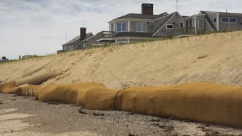
    Cape Cod and the Effects of Climate Change

    Geodesign

  • Photo of a wave crashing
    Esri & The Science of Where Podcast

    Our Ocean, Our Future

    Ocean Science

  • Geospatial aerial map
    Esri Blog

    COVID-19 Geospatial Challenges & Achievements

    Public Health

  • Digital graphic of Earth with one half on fire
    ArcUser

    How to Change the Way We Talk about Climate Change

    Climate Science

  • Pentagon shape data chart of various biodiversity elements
    ArcGIS Blog

    Esri Joins Microsoft-GEO Biodiversity Initiative

    Conservation

  • Image of an iceberg collapsing into the ocean
    Esri & The Science of Where Podcast

    Climate Change Solutions via Technology

    Climate Science

  • Blue and red dashboard map
    Esri & The Science of Where Podcast

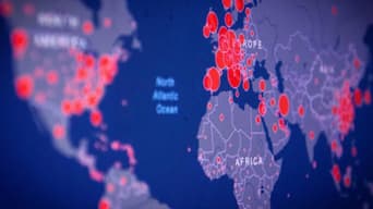
    The Science Behind Johns Hopkins COVID-19 Map

    Public Health

  • Vibrant purple and pink image of an ArcWatch map
    ArcWatch

    Stewards of Biodiversity

    Conservation

  • Photo of a woman walking through a dark and beautiful forest
    Esri Blog

    Earth Day, Nature, COVID-19: What We’re Learning

    Earth Day

  • Photograph of the surface of the ocean
    Esri & The Science of Where Podcast

    Earth Day in a Time of Pandemic

    Ocean Science

  • Esri Blog

    Innovasea Optimizes Aquaculture

    Data-driven decision making
  • City Lab

    The Pirate Map That Launched My Career

    Cartography

  • ArcGIS Blog

    R Notebooks in ArcGIS Pro for Spatial Data Science

    Digital Technology

  • Esri Blog

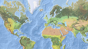
    Mapping the World's Ecosystems

    Conservation

  • Esri Blog

    What's Killing Sea Grass on the West Coast?

    Ocean Science

  • ArcGIS Blog

    Making Story Maps Citable

    Digital Technology

  • Esri Blog

    Mapping Virginia's Highest Tide

    Ocean Science

  • Esri Blog

    Valley Fever and Sea Temperature Rise

    Ocean Science

    Spatial analysis ties valley fever increase to sea temperature rise
  • Esri Blog

    Esri and The Science of Where

    ArcUser

  • Ensia Voices Blog

    A Resilient World Needs Resilient Data

    Digital Technology

  • Ensia Voices Blog

    Visualizing the Stories Data Can Tell

    Data Visualization

  • Ensia Voices Blog

    Mapping the Course

    Conservation

Previous
Next

Scientific publications and peer-reviewed papers

Previous
Next

Special product licenses for scientific organizations