Most recent
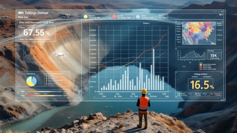
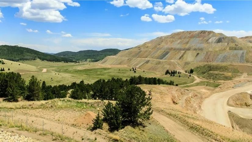
Mapping for Mine Closure: Why GIS is the Key to Sustainable Reclamation
See how GIS helps mining teams plan land use, track revegetation, and meet closure regulations, sustainably and efficiently.

Headed to APWA’s PWX? Stop by Esri to Learn How Next-Generation Public Works is Powered by ArcGIS
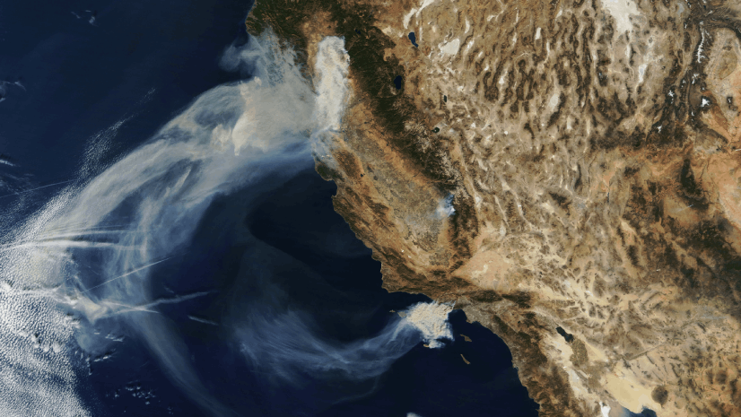
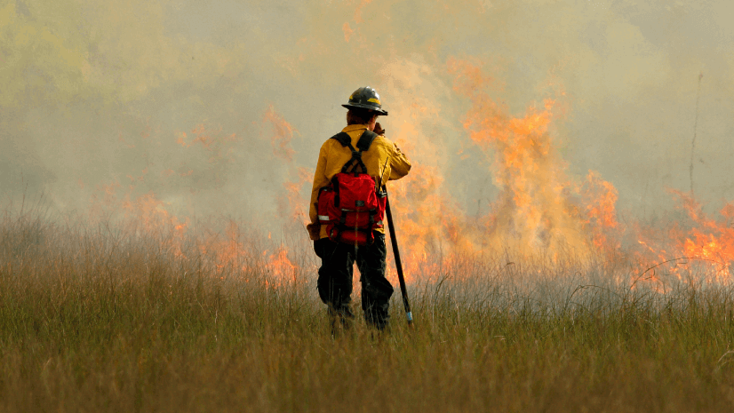
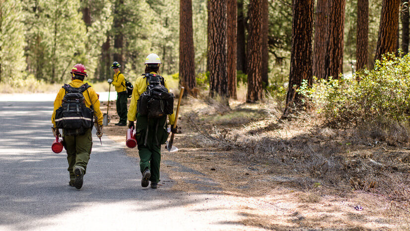
Seeing the Big Picture: Remote Sensing in the Wildfire Technology Toolkit

Showrooming: At a Grocer Near You.

ICSC Las Vegas 2025: Retail’s Data-Driven Evolution

GIS-Powered Precision at Great River Energy: Fault Location Transformed

New State Legislation Reshapes Housing and Community Development
The Agriculture SIG at the Esri 2025 User Conference

Wired for Success: TREDAŞ Transforms Field Operations with ArcGIS
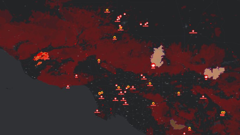
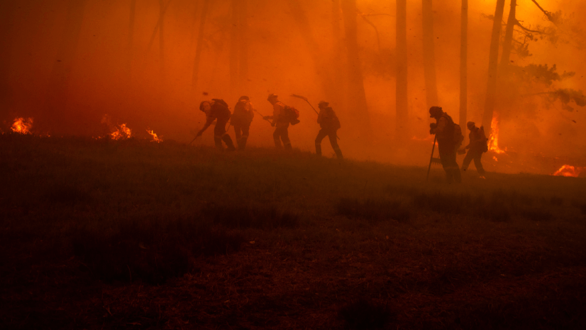
Unlocking NIFC's ArcGIS Online Organization: Data and Tools for Every Wildland Firefighter
Esri Water|
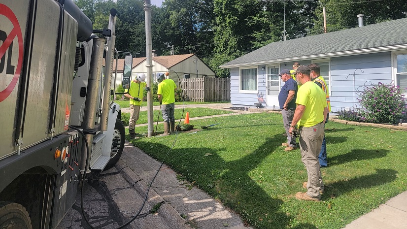
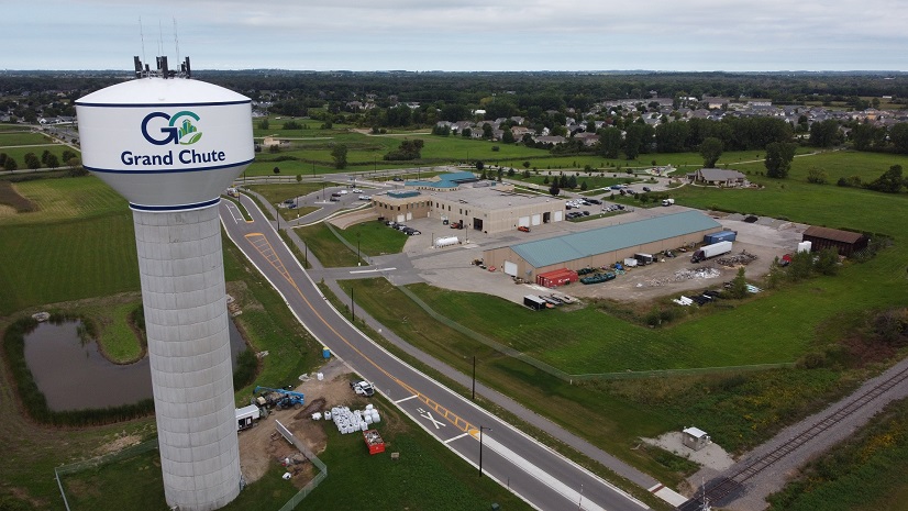
Town of Grand Chute Utilizes ArcGIS to Digitally Transform and Improve Transparency Across Departments
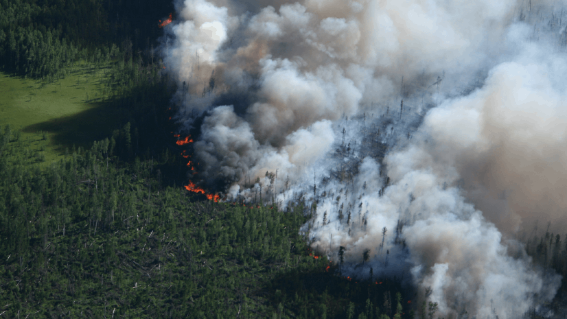
The Backbone of Wildfire Intelligence: Foundational Layers for Analysis and Action