Most recent
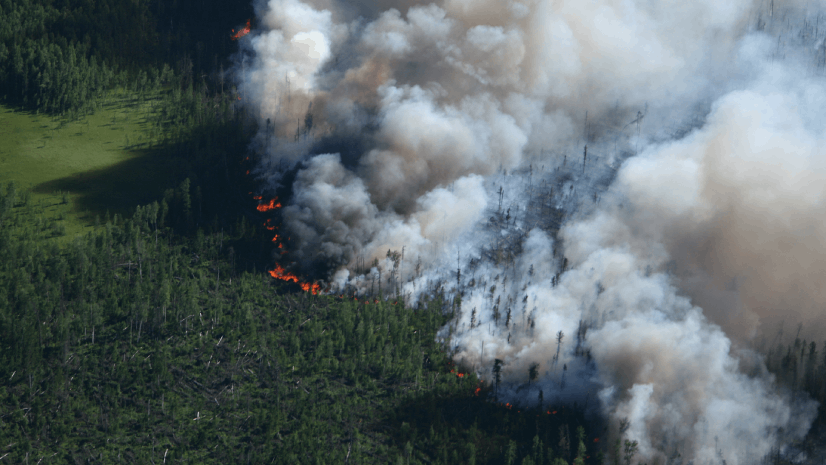
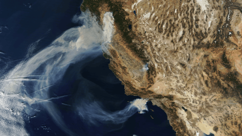
Seeing the Big Picture: Remote Sensing in the Wildfire Technology Toolkit
Discover how satellites, sensors, and GIS tools like SkyWatch and IAA support smarter wildfire response and real-time fire mapping.

Showrooming: At a Grocer Near You.
In June, the grocery/consumer packaged goods (CPG) world was rocked by the General Mills announcement of their quarterly results.

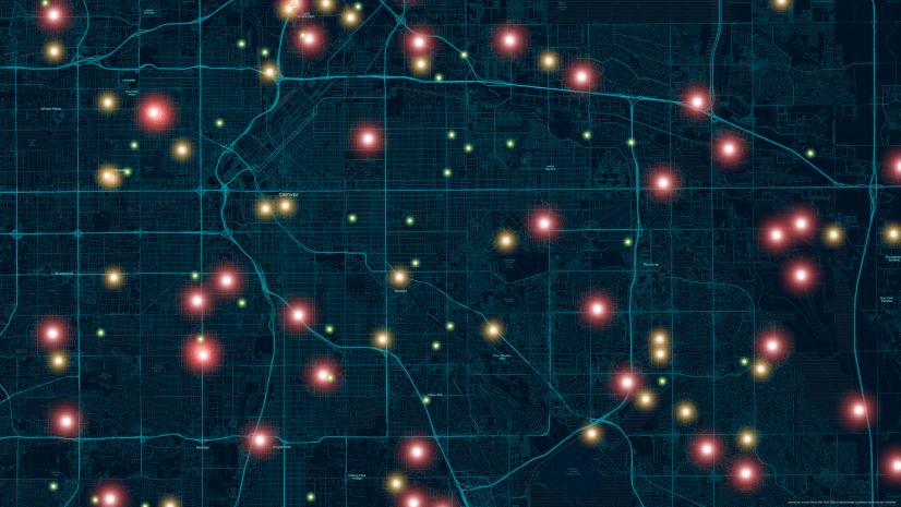
ICSC Las Vegas 2025: Retail’s Data-Driven Evolution
Where is retail heading? How do we build resilience? And what strategies will define the next chapter of growth? Learn more from ICSC 2025.

GIS-Powered Precision at Great River Energy: Fault Location Transformed
To address the inefficiencies of manual fault location, GRE implemented a GIS-based solution that automated the entire process.

New State Legislation Reshapes Housing and Community Development
New state legislation indicates a national focus on increasing housing affordability.

The Agriculture SIG at the Esri 2025 User Conference
If you missed last week's Agriculture SIG at Esri’s 2025 User Conference, here’s a brief summary: The session, led by Mark Dann, Dr. Elvis Takow,

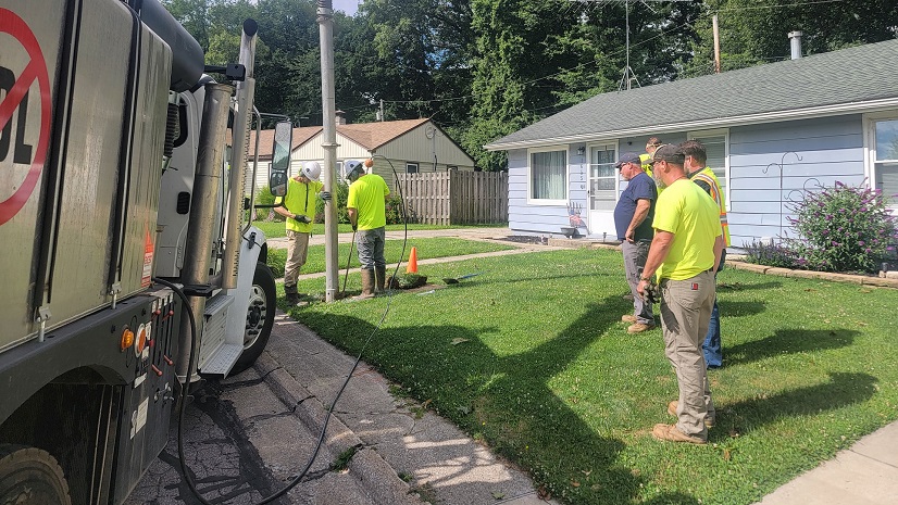
Wired for Success: TREDAŞ Transforms Field Operations with ArcGIS
TREDAŞ boosted efficiency and cut costs 95% by integrating GIS with SAP, enhancing data accuracy and customer satisfaction.
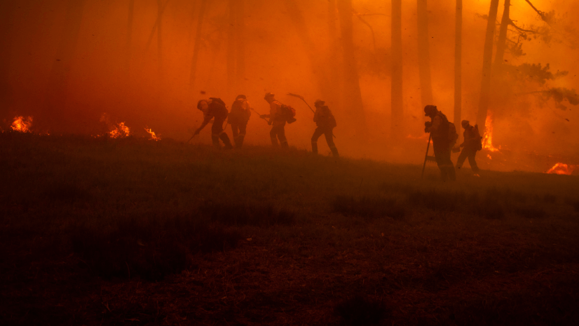
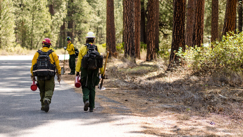
Unlocking NIFC's ArcGIS Online Organization: Data and Tools for Every Wildland Firefighter
Explore the NIFC's ArcGIS Online organization’s wildfire mapping tools, FireGuard data, and mobile apps for improved wildfire response.
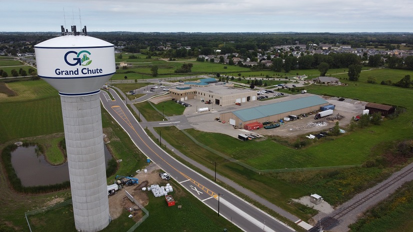
Town of Grand Chute Utilizes ArcGIS to Digitally Transform and Improve Transparency Across Departments
Grand Chute uses Esri to coordinate between departments, minimizing time constraints on staff, eliminating redundancy, and reducing errors.
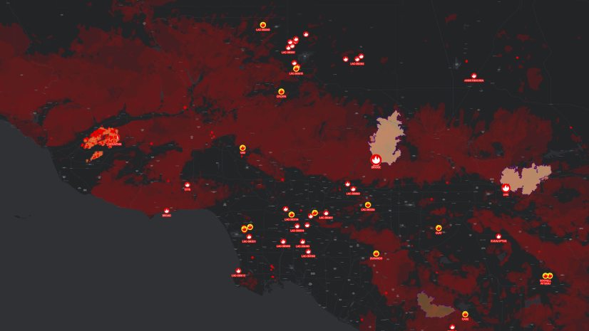
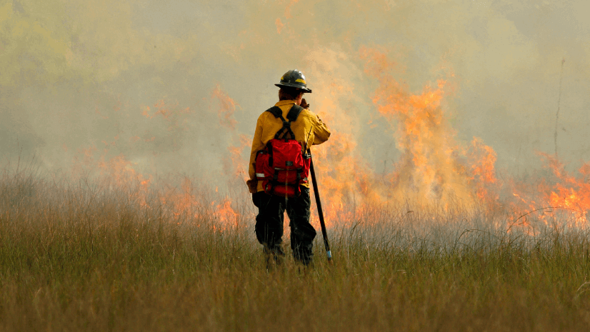
The Backbone of Wildfire Intelligence: Foundational Layers for Analysis and Action
Explore foundational wildfire data like IRWIN, NASA FIRMS, and ArcGIS Living Atlas to power effective wildfire mapping and analysis.

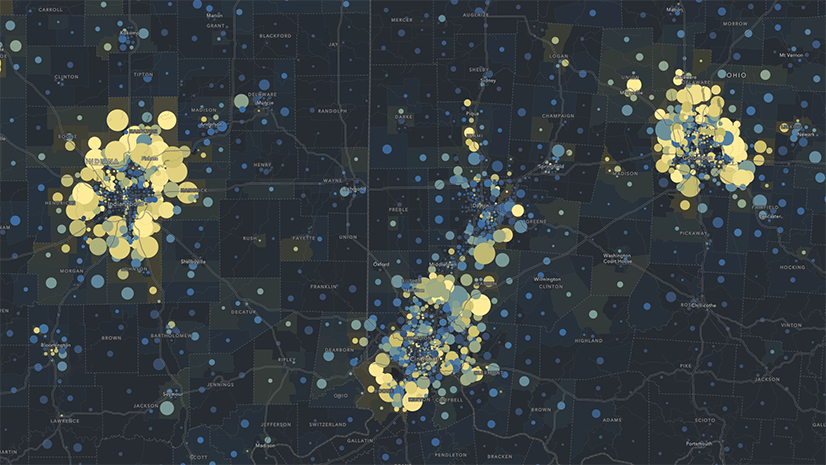
Five Datasets Telecoms Can’t Live Without and Why They Belong in GIS
Discover the five essential datasets telecoms need and how GIS transforms data into actionable insights for better decision-making.
Turning Recommendations into Action: Why the Alliance for Wildfire Resilience’s Legislation Tracker Matters
Turn insight into impact. This ArcGIS-powered tracker maps wildfire bills to expert recommendations for smarter, faster change.

Urban Public Utility Gains Efficiencies with Digitized Permitting and Asset Management
Salt Lake City Department of Public Utilities has improved efficiency and increased transparency using dashboards and interactive maps.